🇳🇴
🇬🇧
🇩🇪
🇨🇿
🇫🇮
🇱🇻
Meteor over Kronobergs län
2015-11-29
15:13:41 UTC
KML file
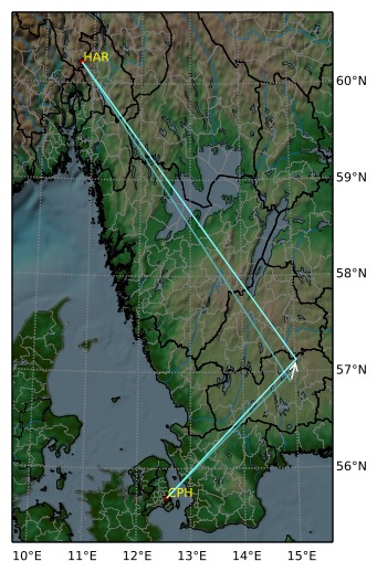
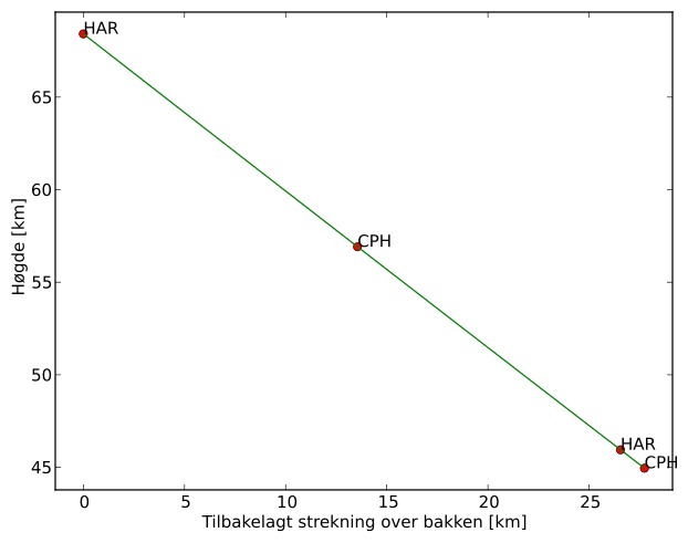
Meteorens atmosfæriske bane
:
Starthøgde:
68,4 km
Slutthøgde:
45,0 km
Startposisjon:
56,889N 14,909E
Sluttposisjon:
57,129N 15,032E
Retning:
15,6°
Fallvinkel:
40,2°
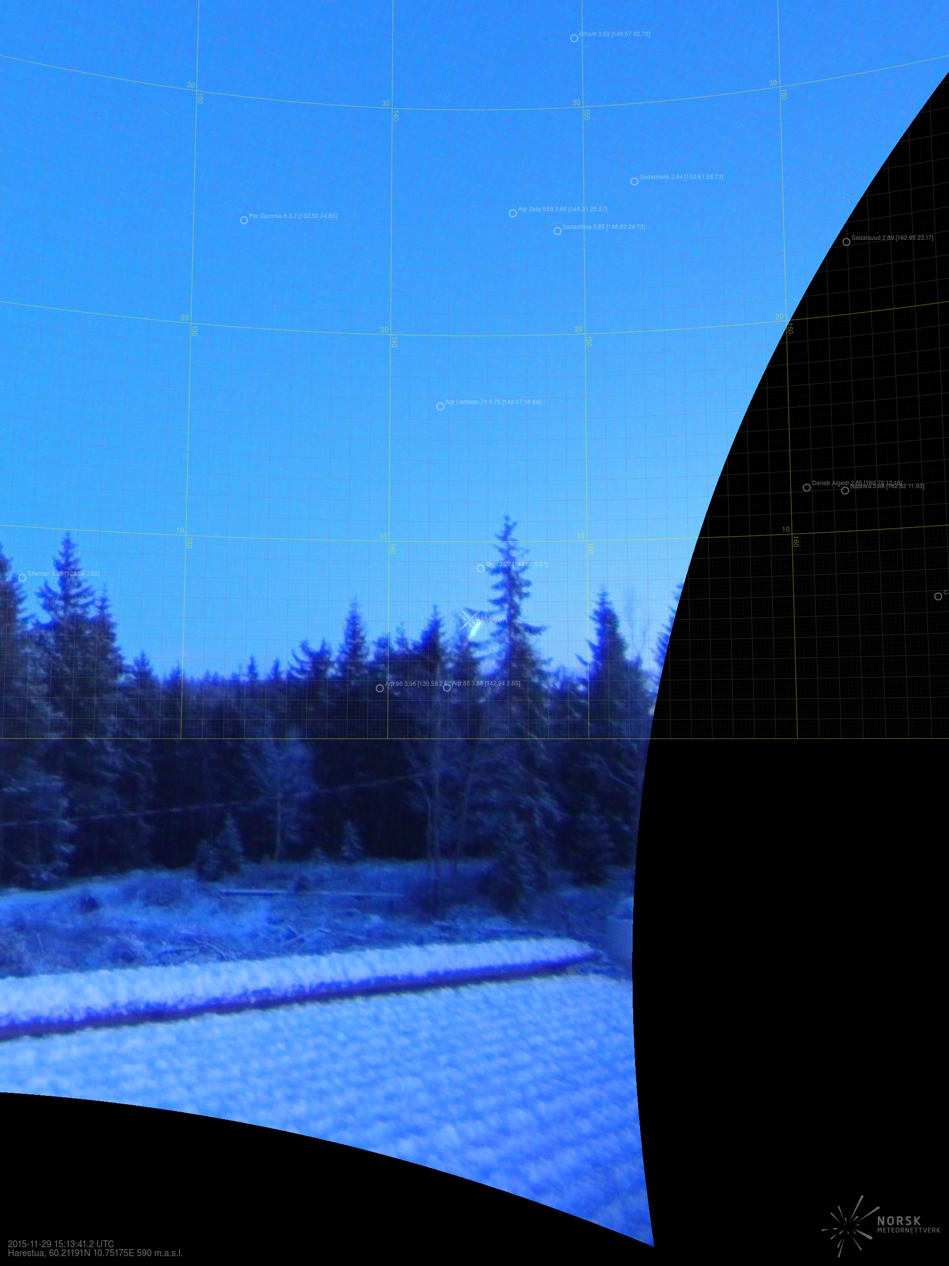
Solobservatoriet – 3
Videos
Gnomonic
Gnomonic with coordinates
Original
Original with coordinates
Images
Gnomonic
Gnomonic with coordinates
Gnomonic with labels
Original
Original with coordinates
Original with mask
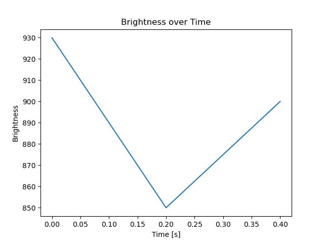
Text Files
Detection
Observation
Coordinates
Error Messages
Log