🇳🇴
🇬🇧
🇩🇪
🇨🇿
🇫🇮
Meteor over
2022-12-06
02:32:25 UTC
KML file
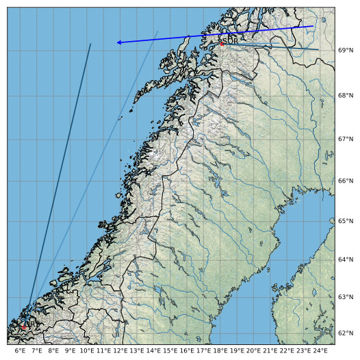
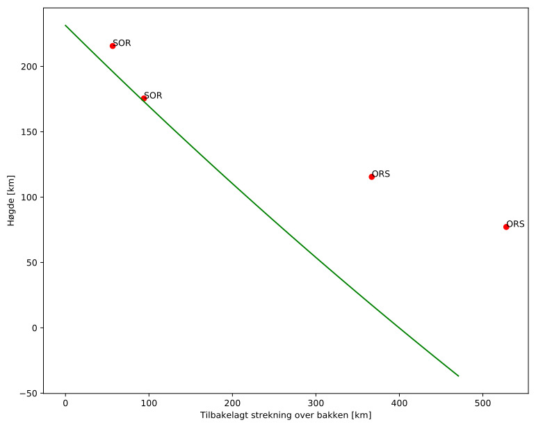
Meteorens atmosfæriske bane
:
Starthøgde:
231,3 km
Slutthøgde:
-36,8 km
Startposisjon:
69,525N 23,663E
Sluttposisjon:
69,165N 11,686E
Retning:
270,8°
Fallvinkel:
29,7°
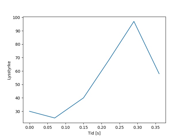
Sørreisa – 1
Videos
Original
Images
Original
Text Files
Detection
Observation
Coordinates
Error Messages
Log