🇳🇴
🇬🇧
🇩🇪
🇨🇿
🇫🇮
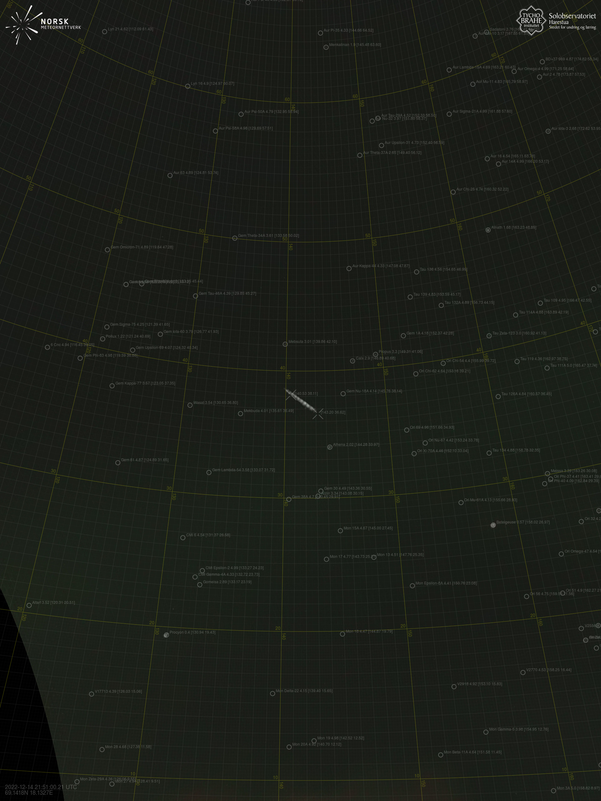
Meteor over Manner-Suomi
2022-12-14
21:51:01 UTC
KML file
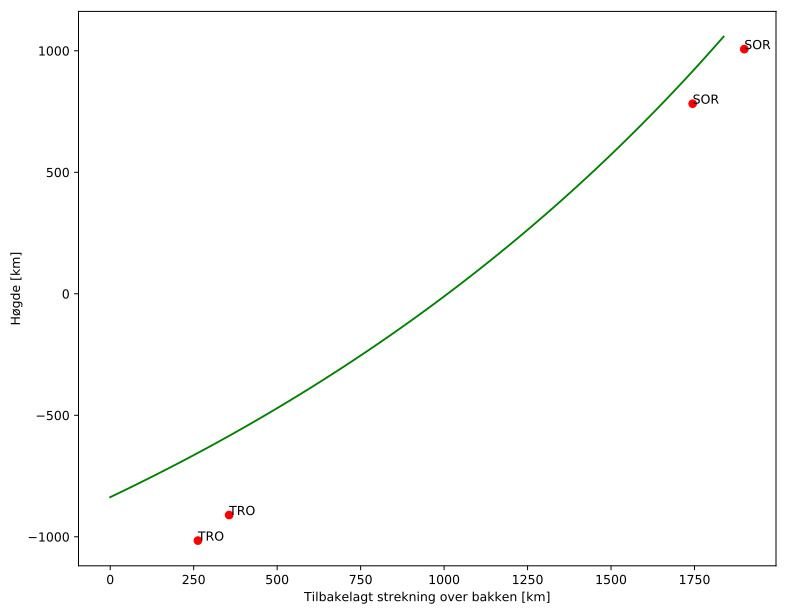
Meteorens atmosfæriske bane
:
Starthøgde:
-837,0 km
Slutthøgde:
1058,3 km
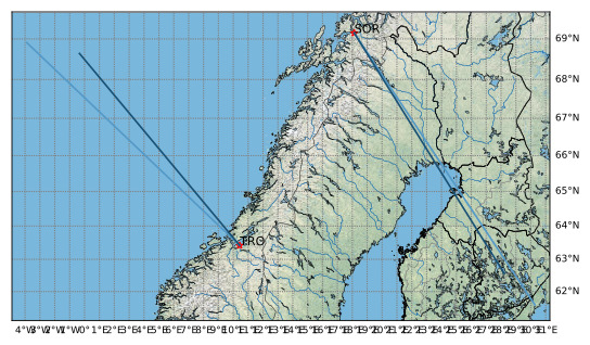
Startposisjon:
71,132N -6,224E
Sluttposisjon:
61,587N 28,523E
Retning:
107,5°
Fallvinkel:
-45,9°
Sørreisa – 1
Videos
Gnomonic
Gnomonic with coordinates
Original
Original with coordinates
Images
Gnomonic
Gnomonic with coordinates
Uncorrected gnomonic with coordinates
Gnomonic with labels
Uncorrected gnomonic with labels
Original
Original with coordinates
Original with mask
Text Files
Detection
Observation
Coordinates
Error Messages
Log