🇳🇴
🇬🇧
🇩🇪
🇨🇿
🇫🇮
Meteor over Malung-Sälens kommun
2024-11-15
22:33:21 UTC
KML file
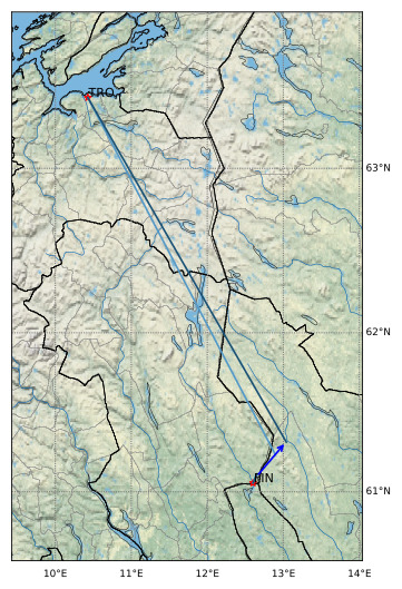
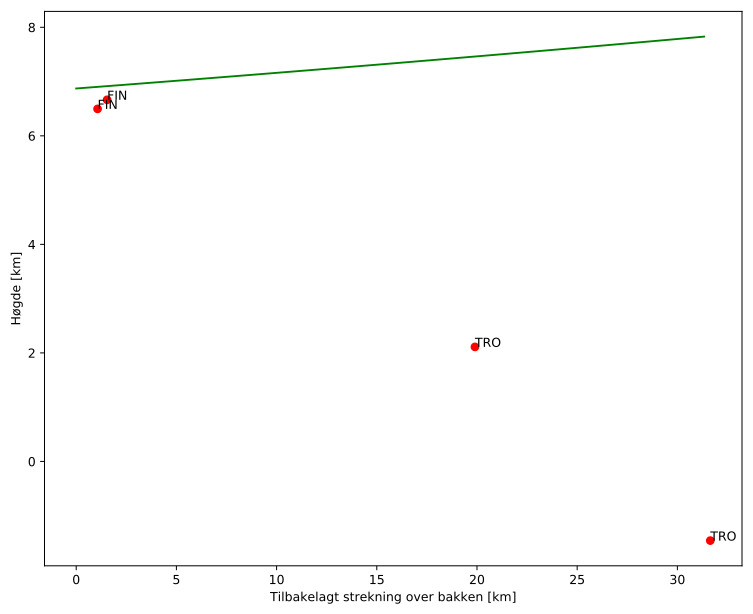
Meteorens atmosfæriske bane
:
Starthøgde:
6,9 km
Slutthøgde:
7,8 km
Startposisjon:
61,101N 12,654E
Sluttposisjon:
61,315N 13,033E
Retning:
40,2°
Fallvinkel:
-1,6°
Inngangshastighet:
1,5 km/s
Finnskogen – 1
Videos
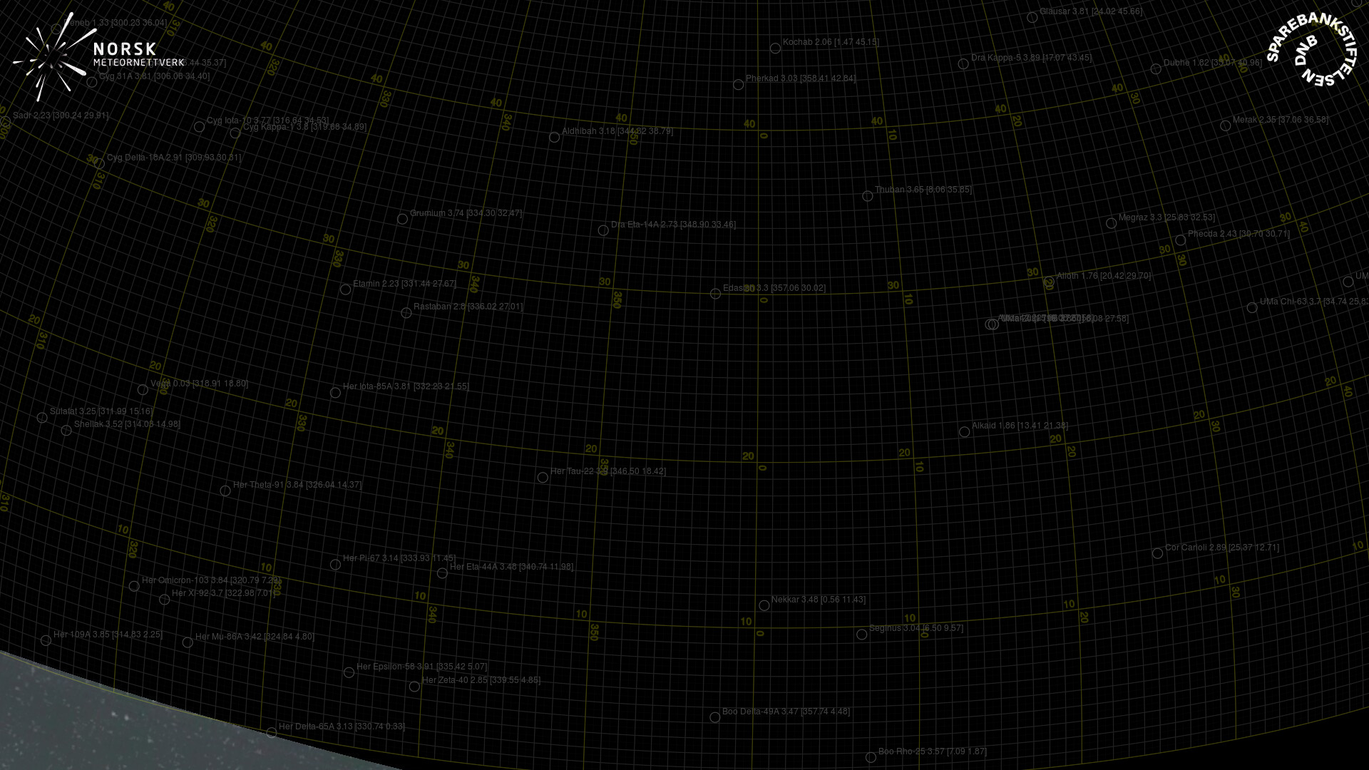
Gnomonic
Gnomonic with coordinates
Original
Original with coordinates
Images
Gnomonic
Gnomonic with coordinates
Uncorrected gnomonic with coordinates
Gnomonic with labels
Uncorrected gnomonic with labels
Original
Original with coordinates
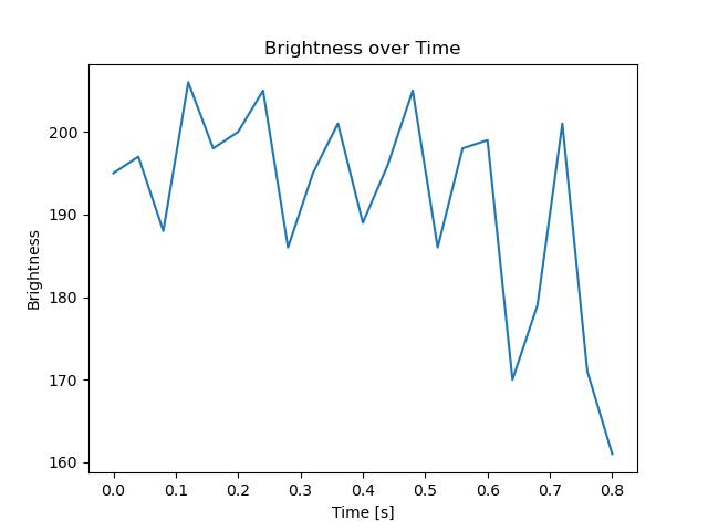
Text Files
Detection
Observation
Coordinates
Log