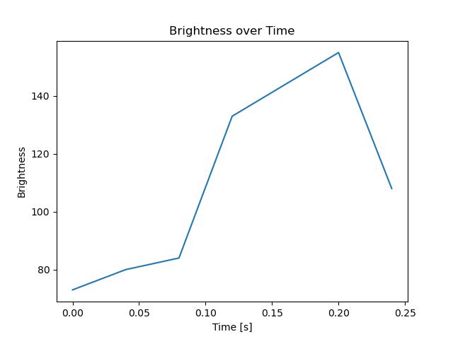
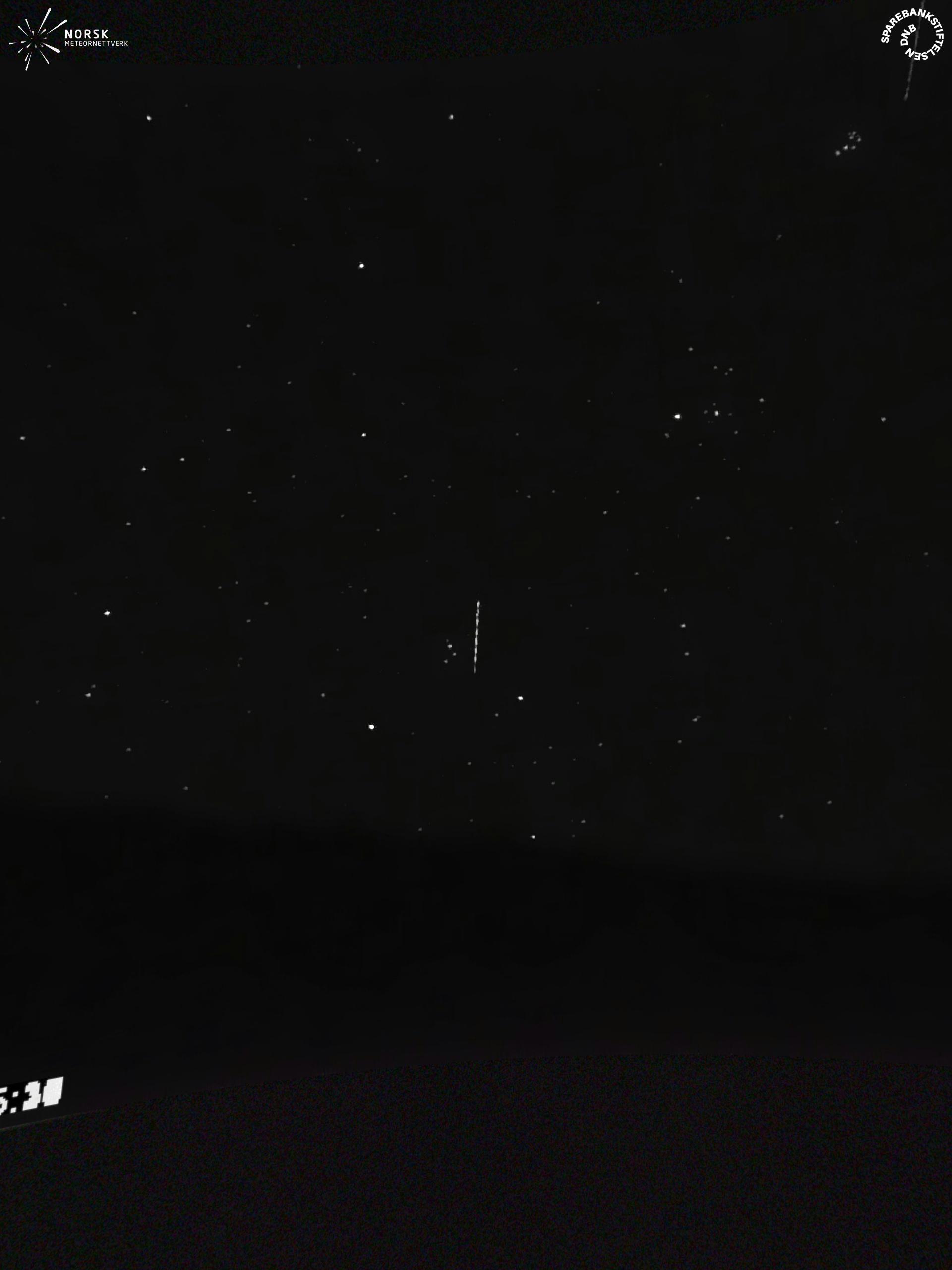
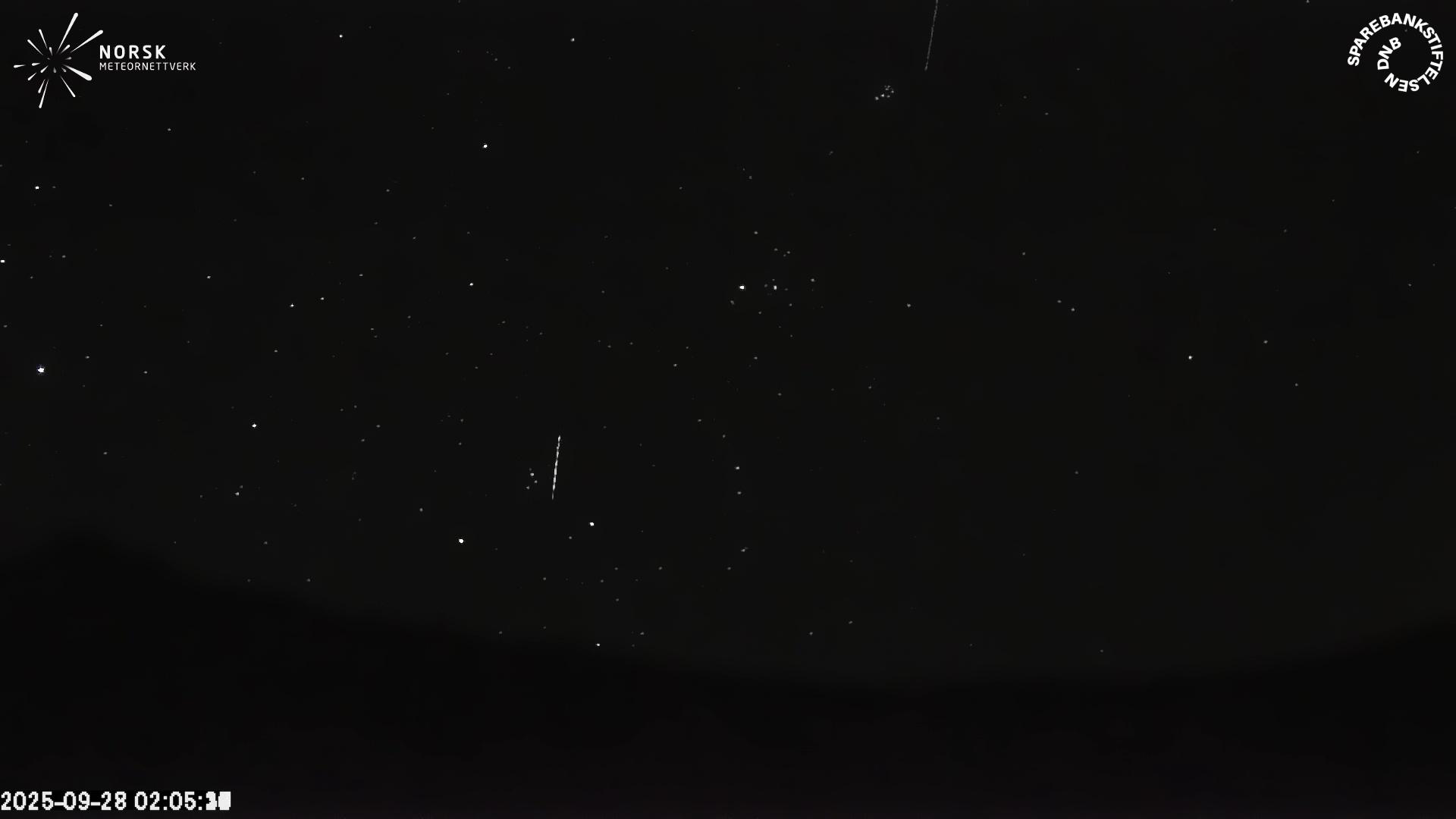
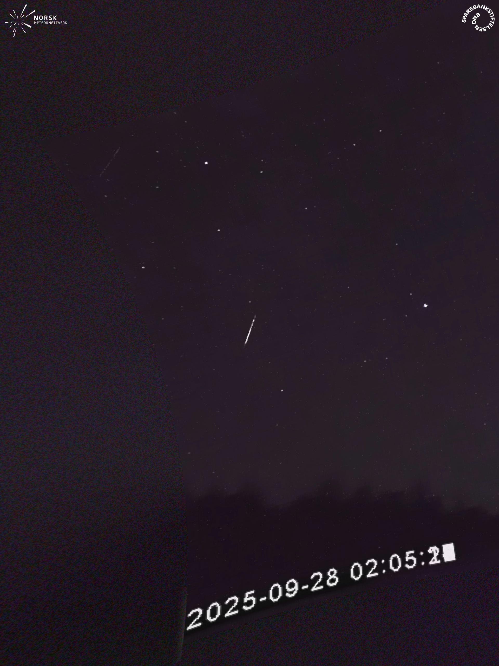
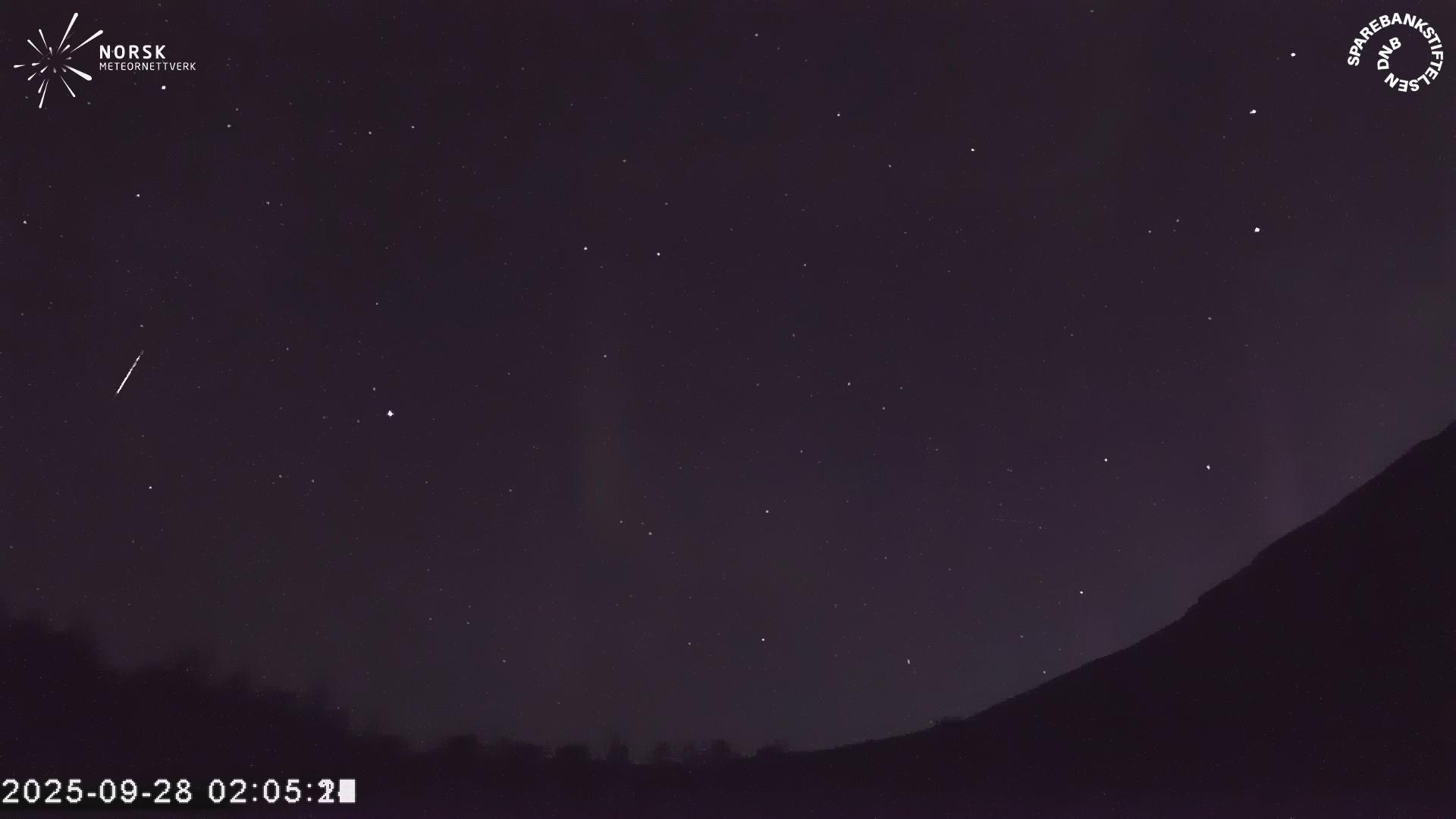
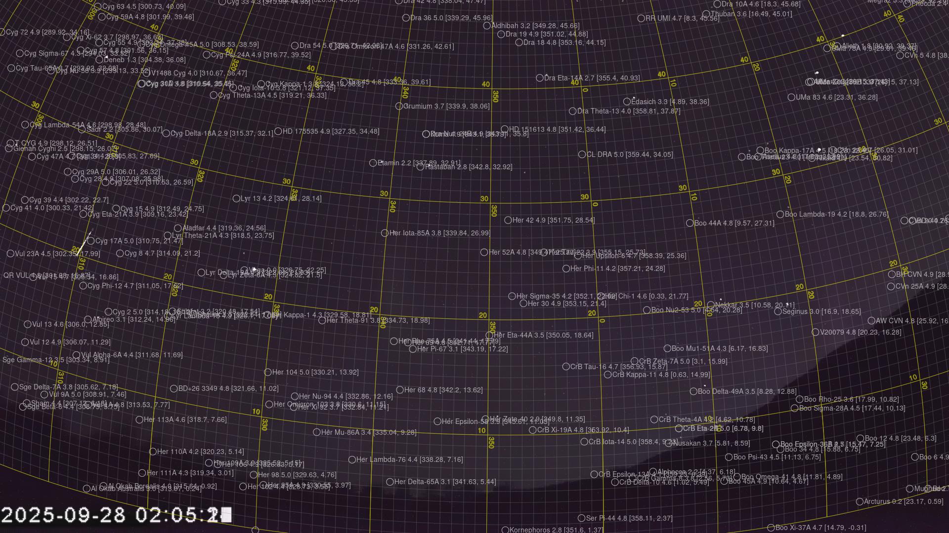
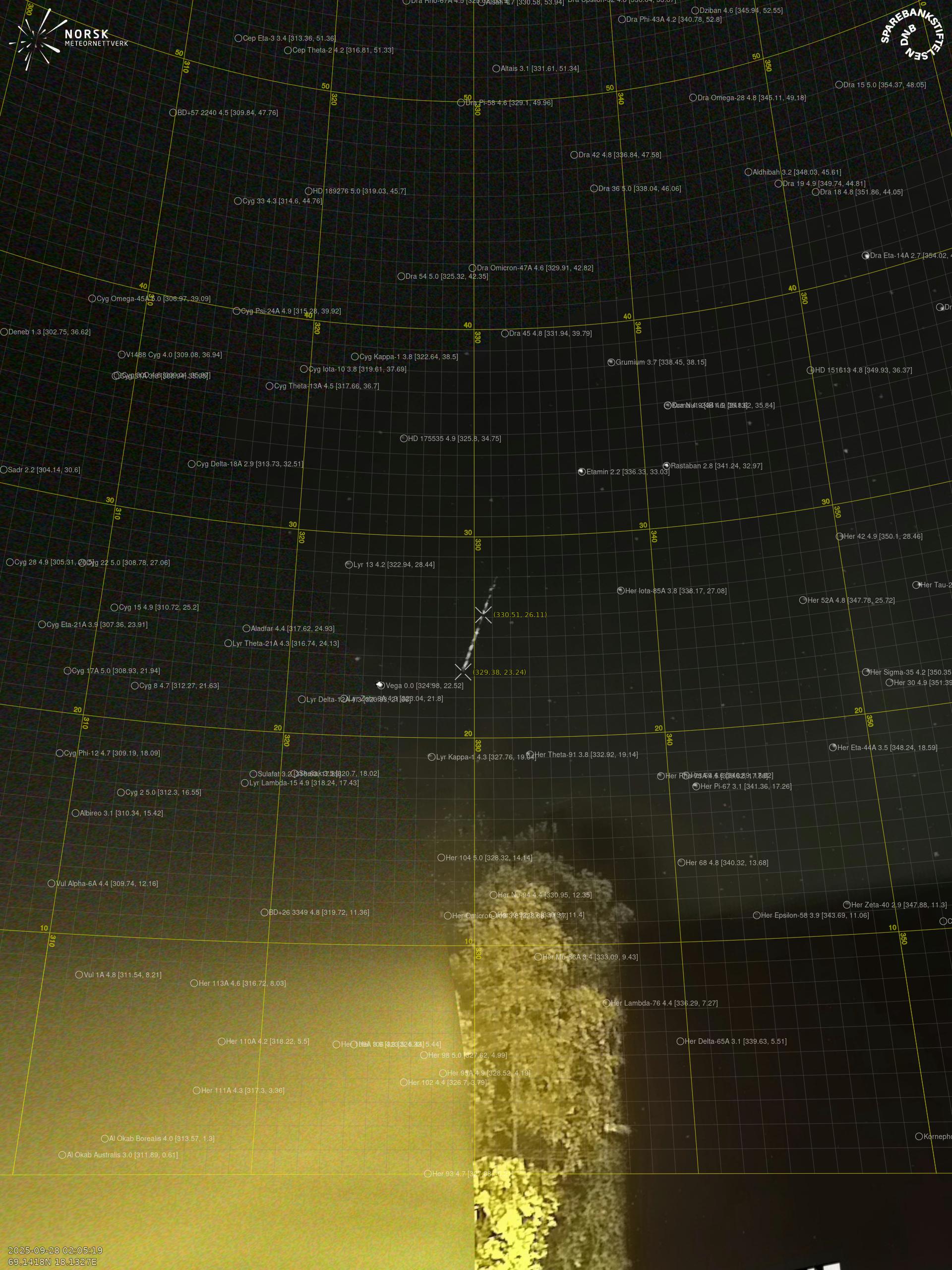
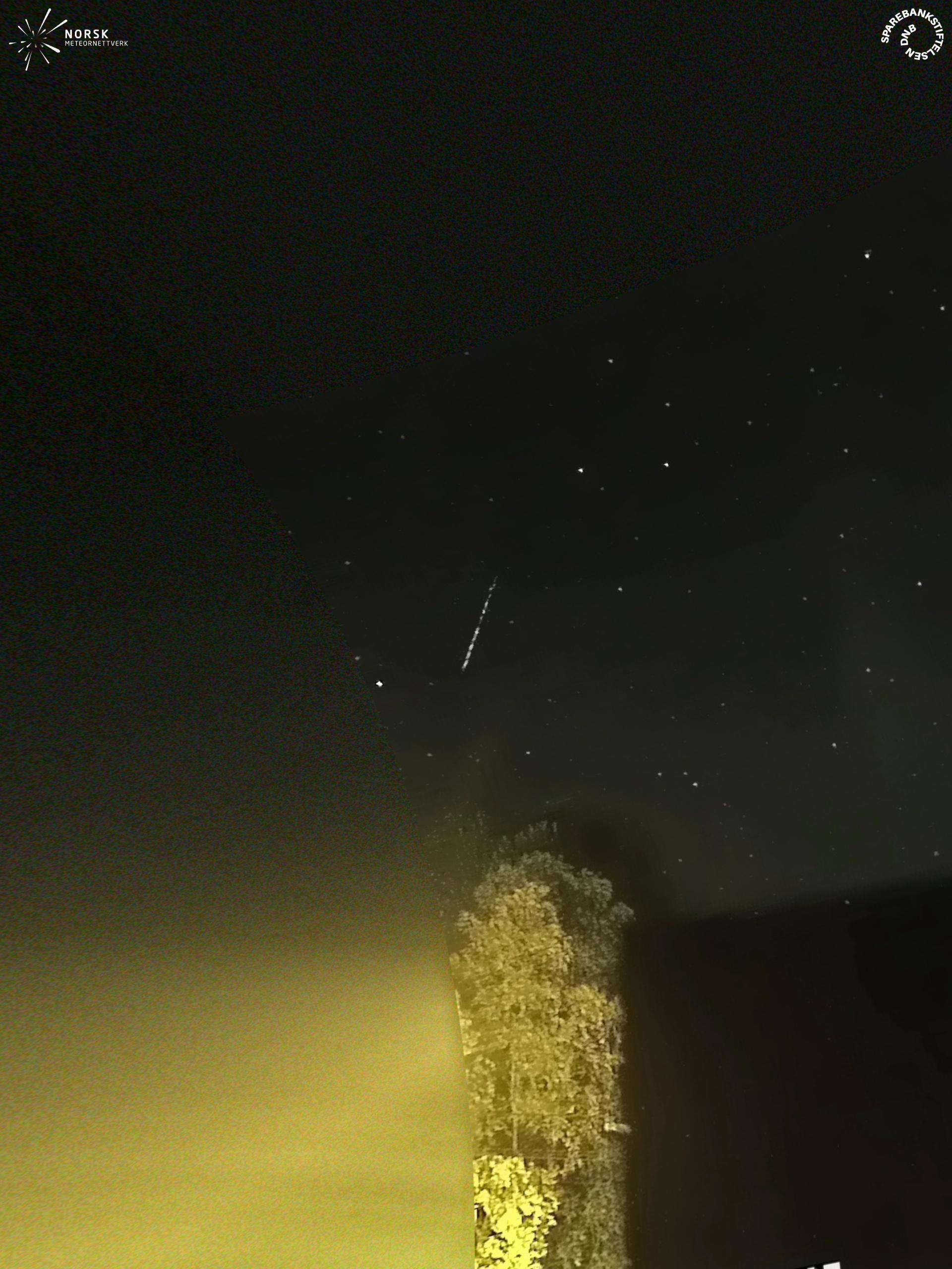
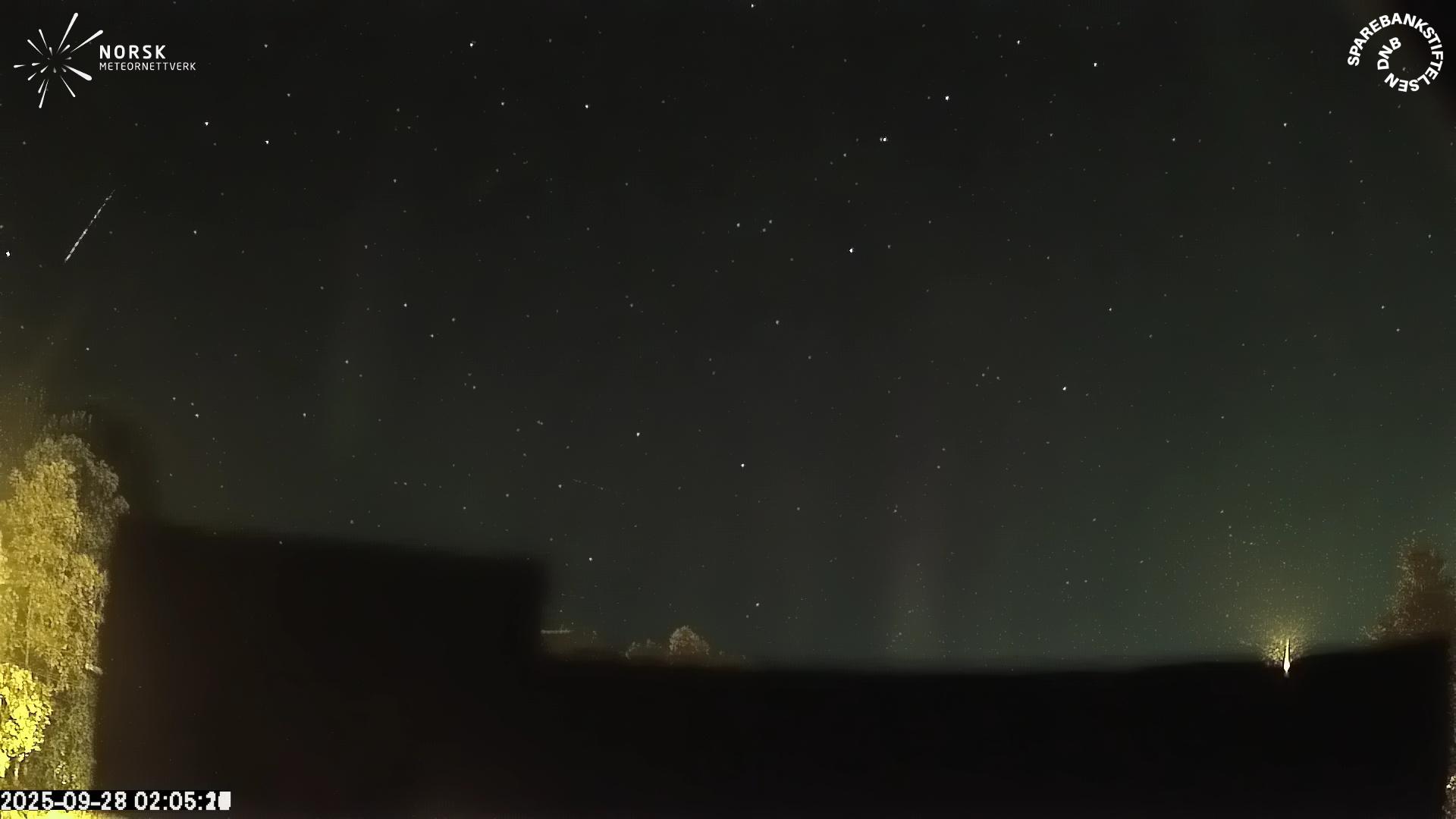
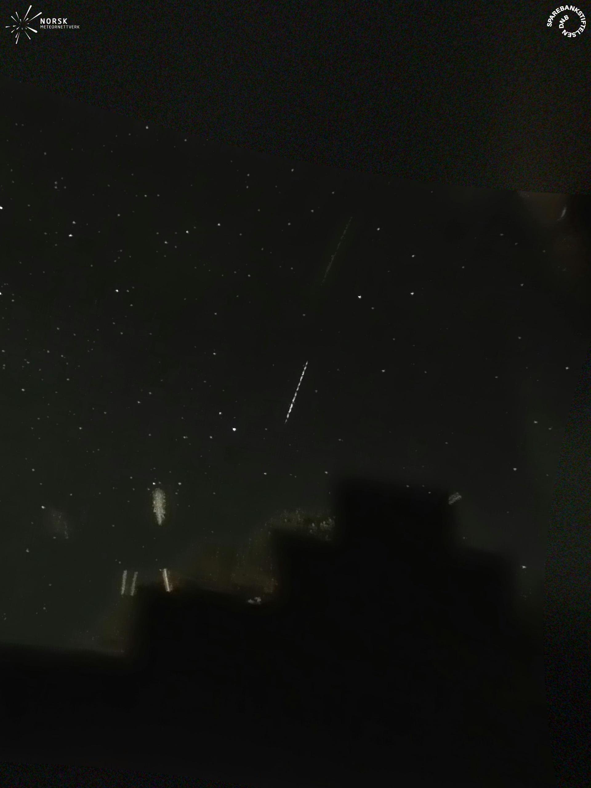
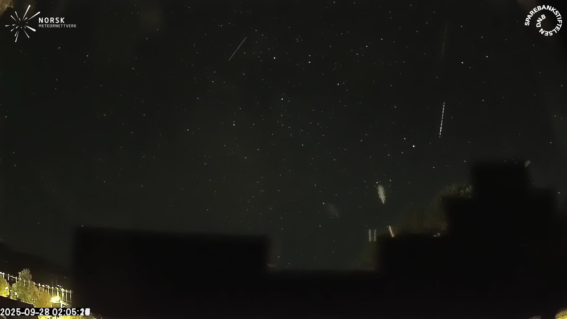
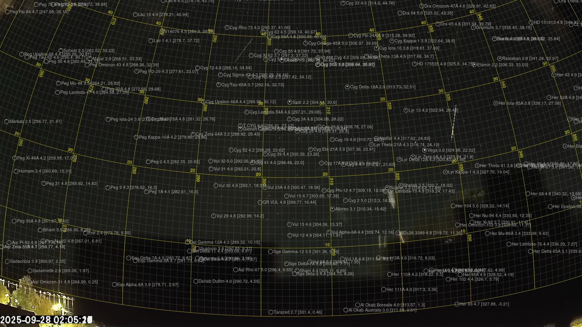
Meteor over Andenes 2025-09-28 02:05:26 UTC
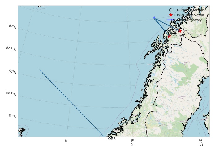
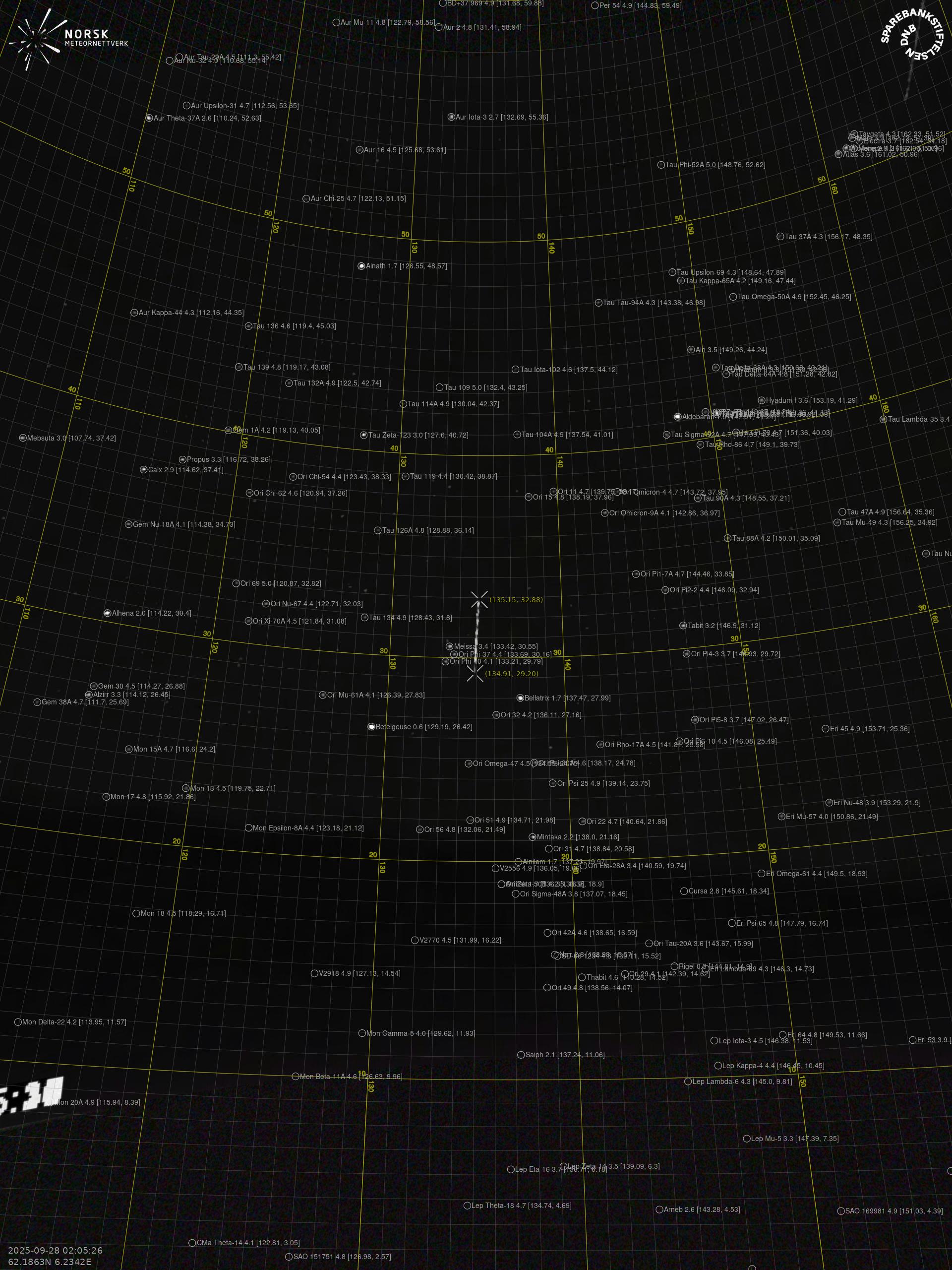
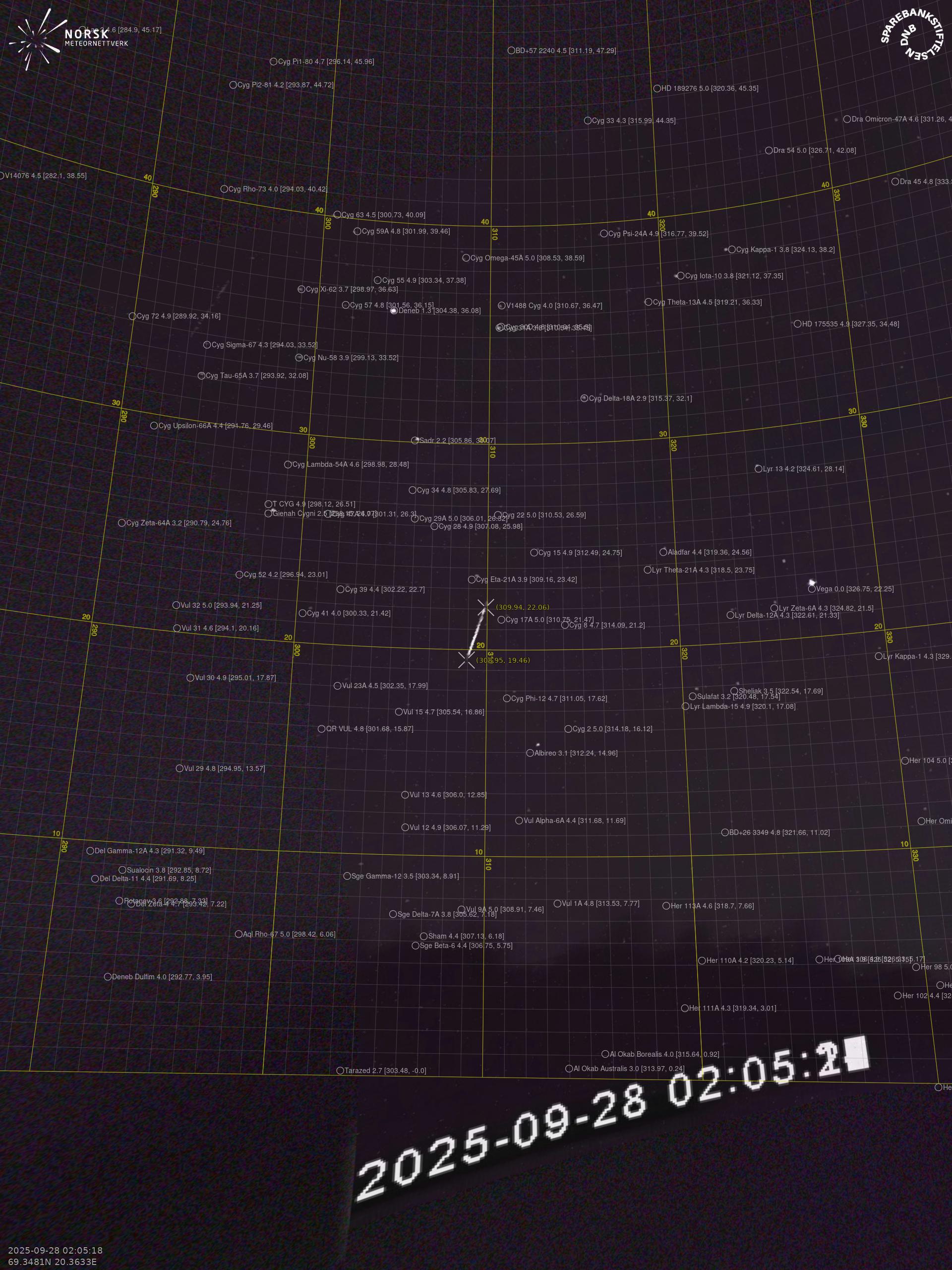
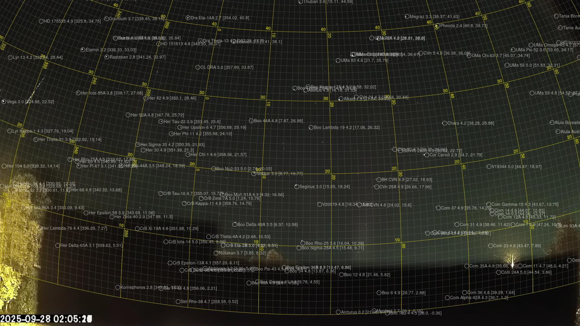
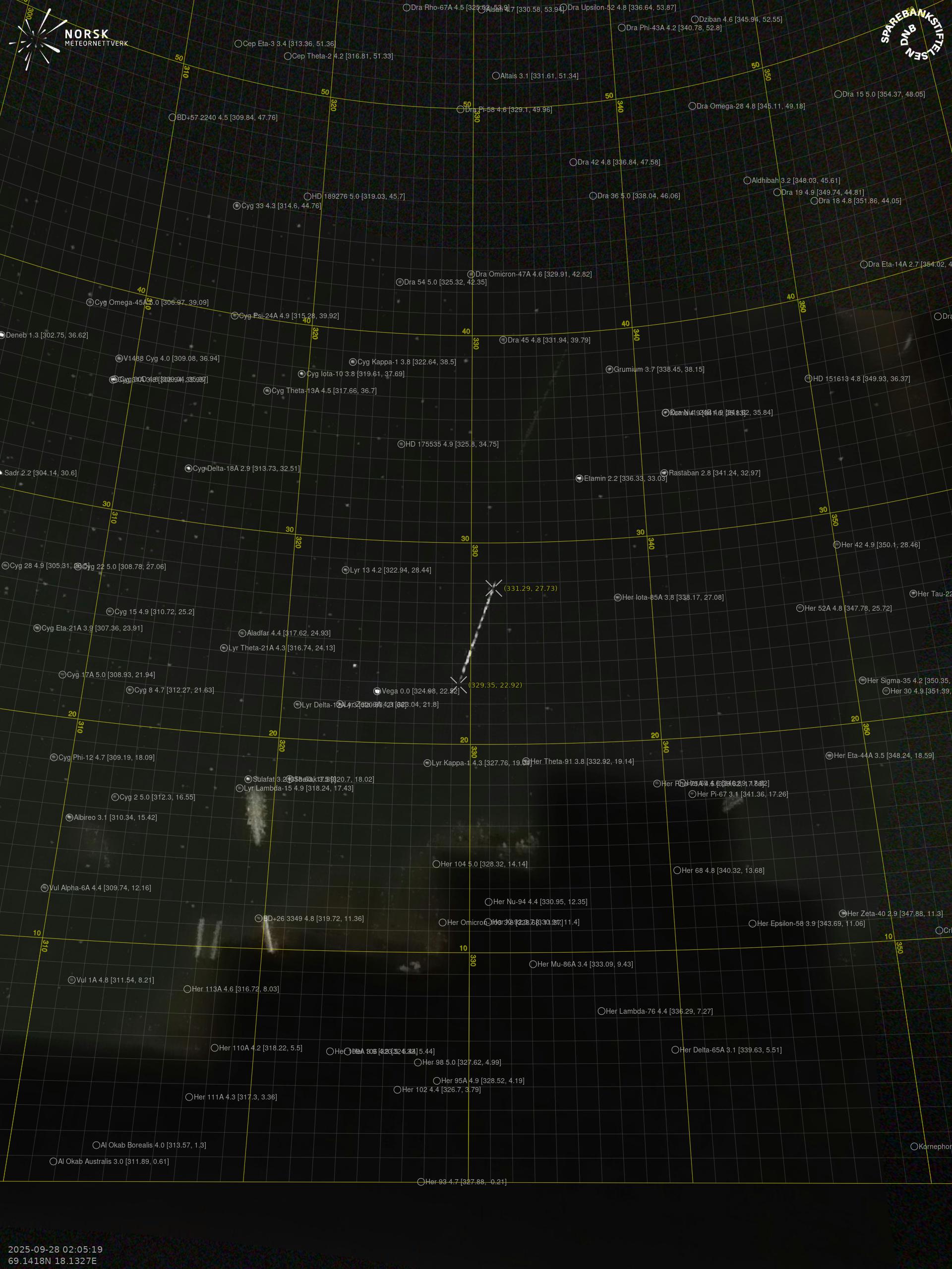
The map shows the bearings for the meteor. The lighter lines show the directions from the observation sites at the meteor's appearance, and the darker lines show where it was last seen. The blue arrow indicates the visible path of the meteor.
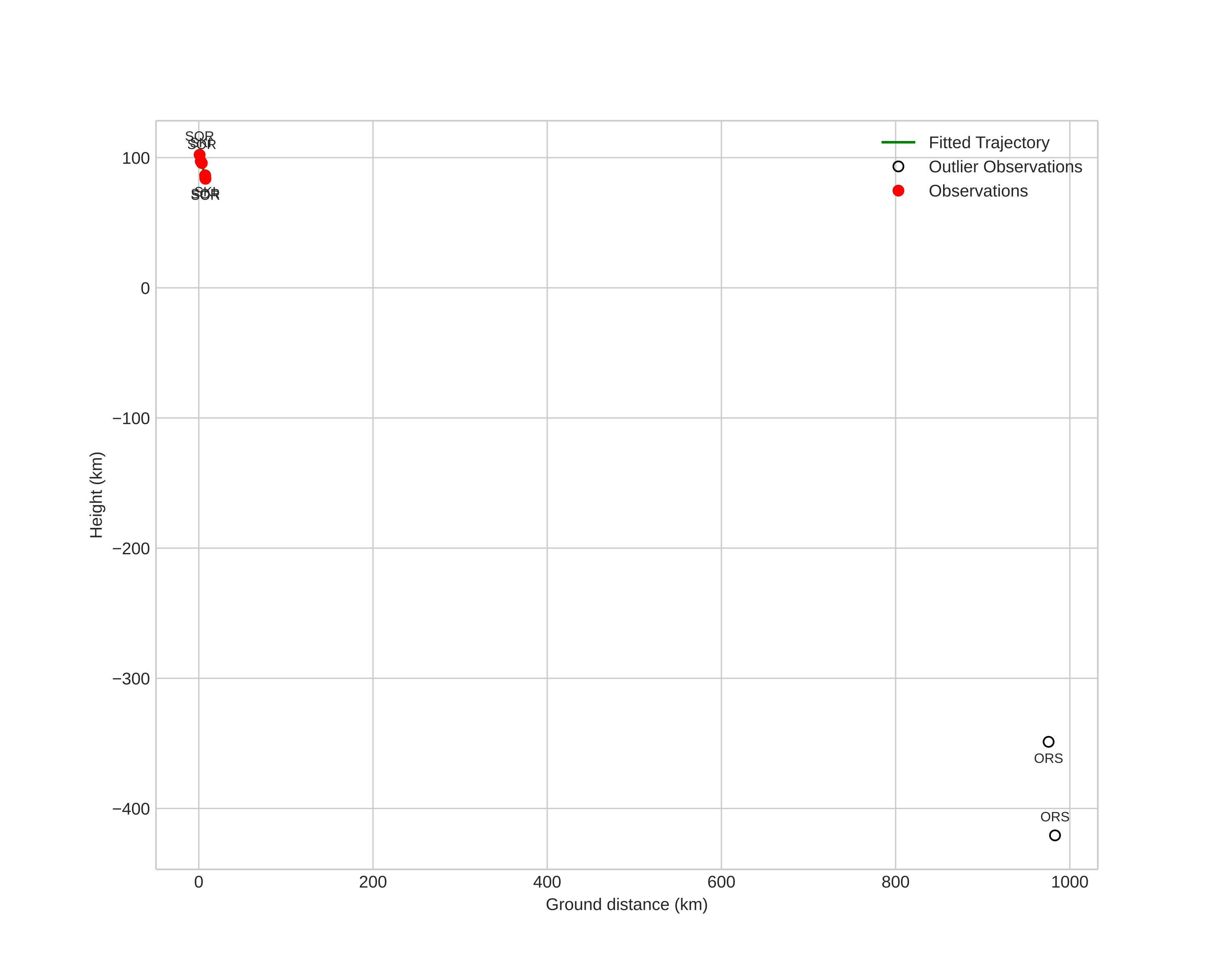
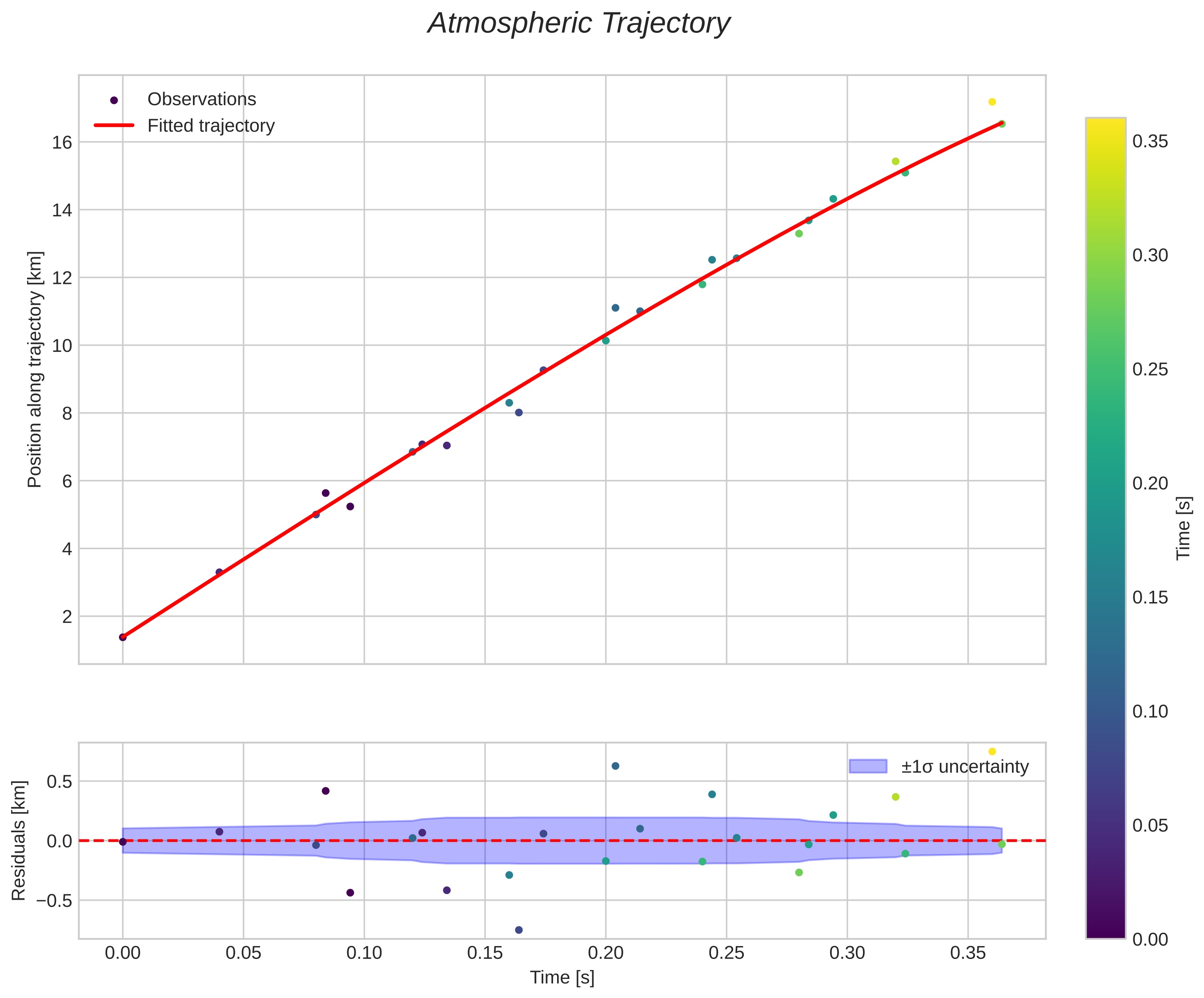
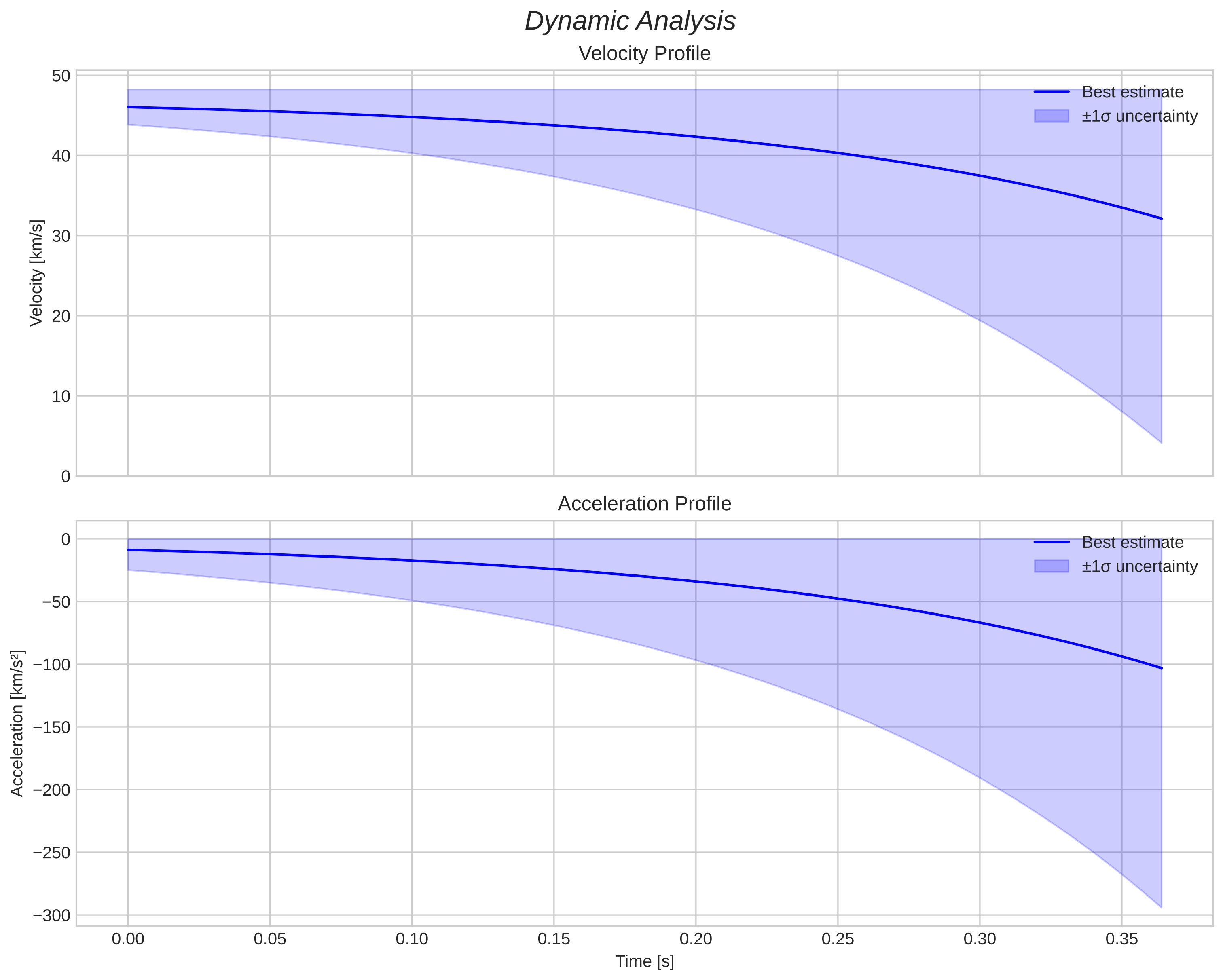
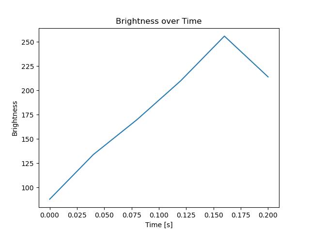
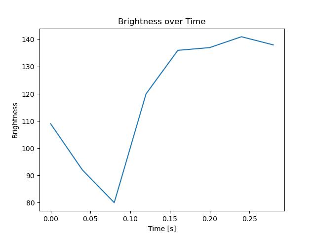
Meteor's Atmospheric Trajectory:
| Start height: | 105.4 km |
| End height: | 83.8 km |
| Start position: | 70.614N 15.687E |
| End position: | 70.572N 15.560E |
| Direction: | 225.1° |
| Inclination angle: | 72.9° |
| Entry speed: | 52.3 km/s |
| Radiant R.A.: | 07:31 (112.9°) |
| Radiant Dec.: | 76.2° |
| Meteor Shower: | sporadic |
|
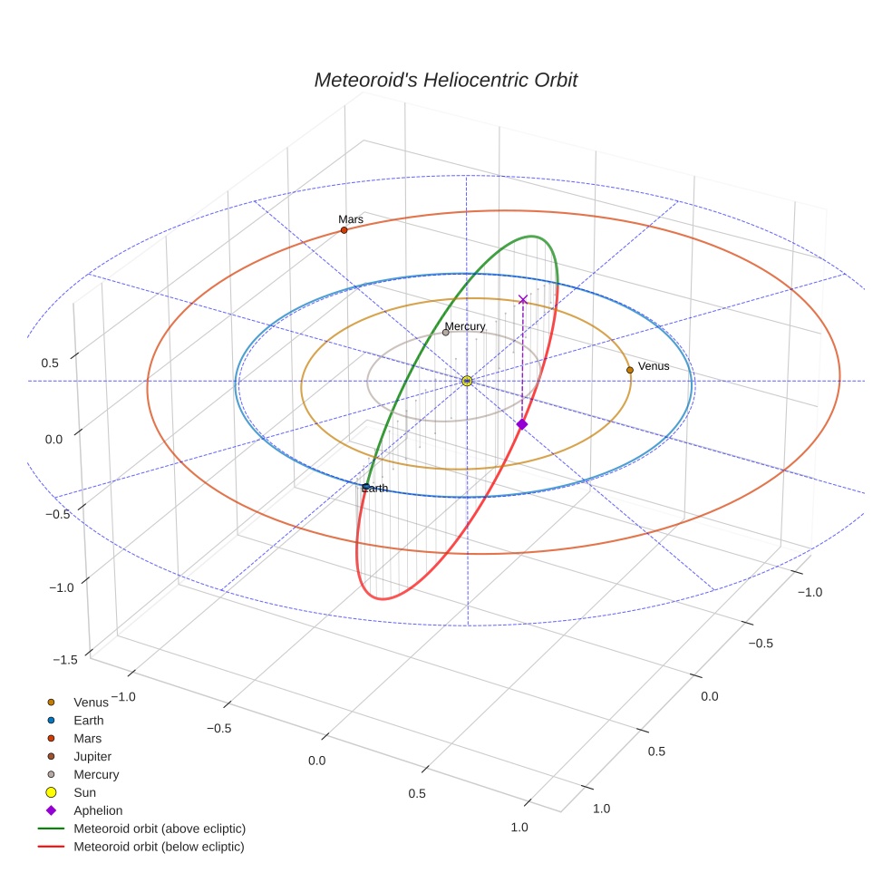
Meteoroid's Orbital Elements:
| Perihelion distance: | 1.000 AU |
| Eccentricity: | 0.903 |
| Inclination: | 90.9° |
| Long. of Asc. Node: | 184.9° |
| Argument of Perihelion: | 175.0° |
| Mean Anomaly: | 0.1° |
| Epoch: | 2025 SEP 28 02:05:26 |
|