🇳🇴
🇬🇧
🇩🇪
🇨🇿
🇫🇮
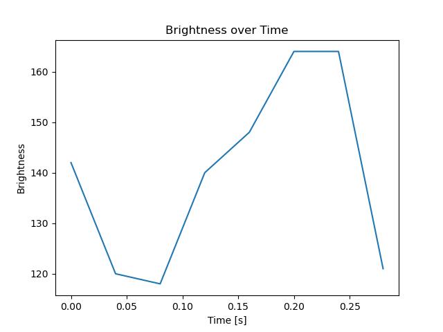
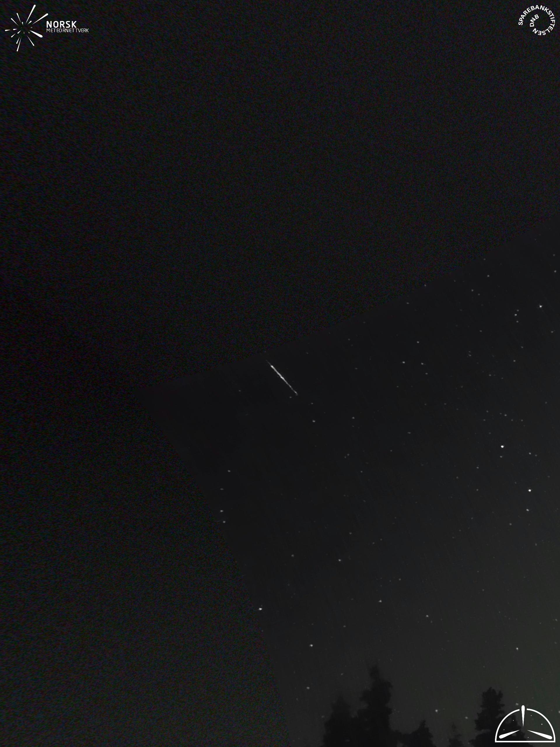
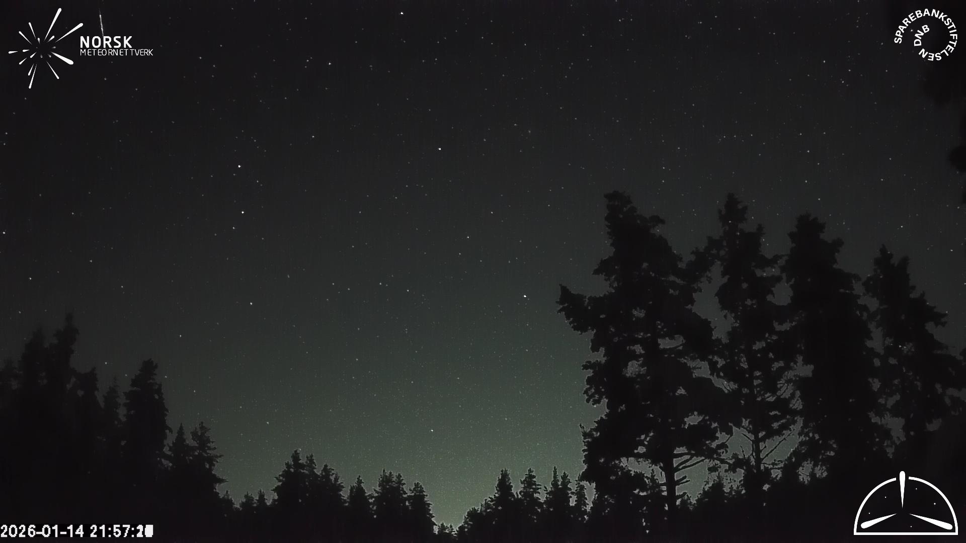
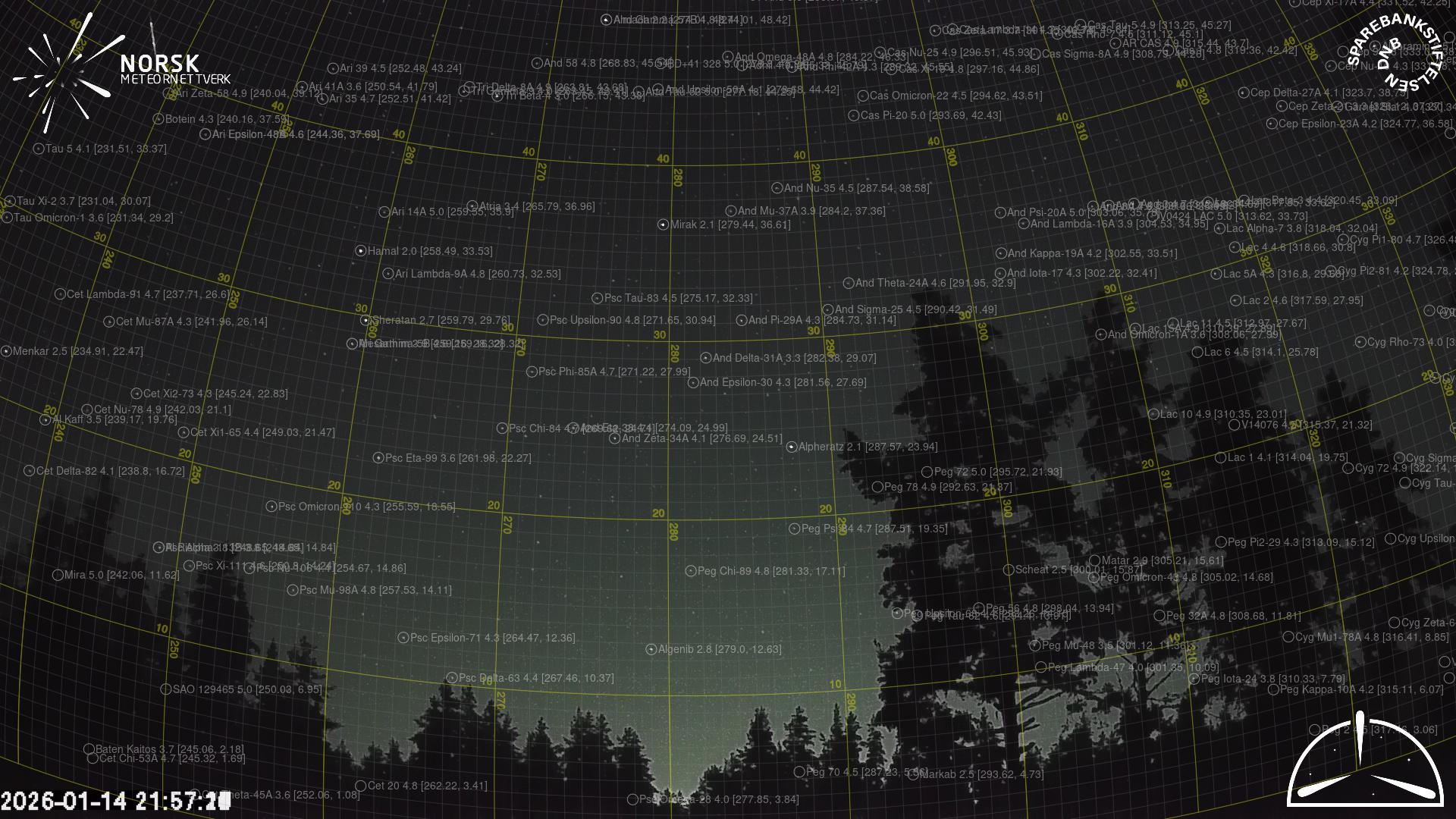
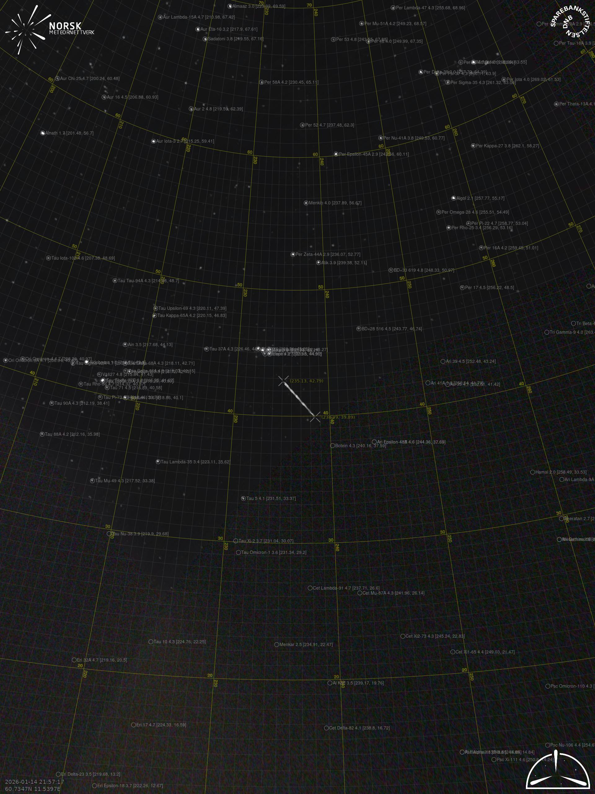
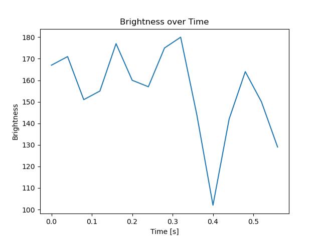
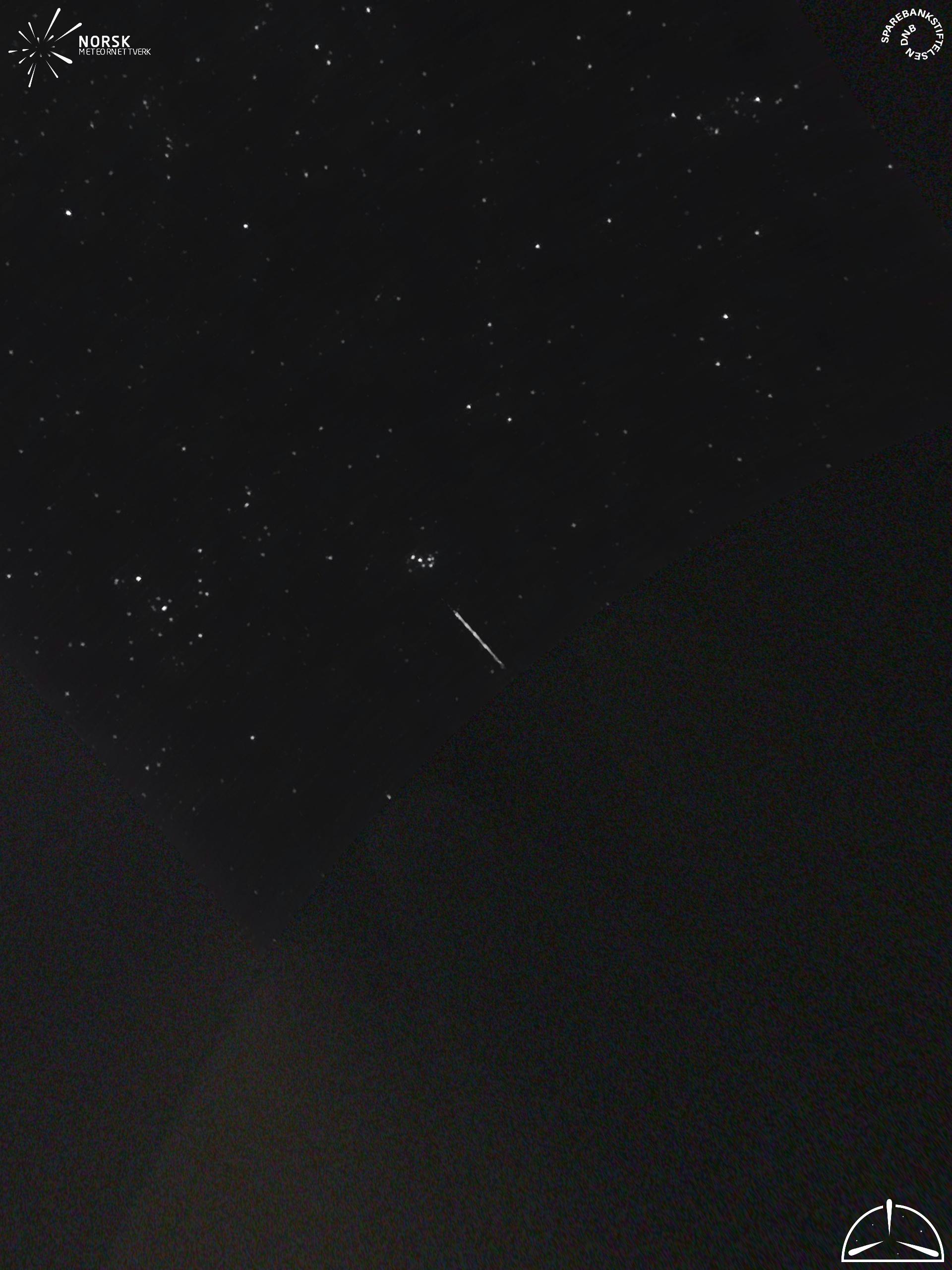
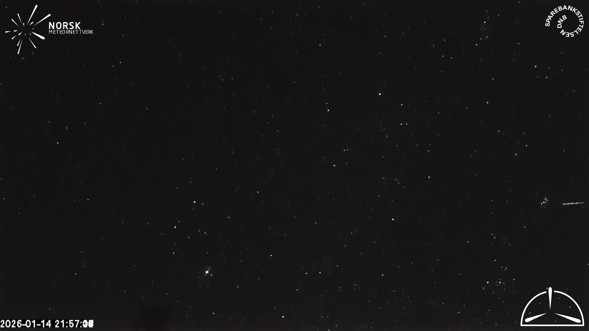
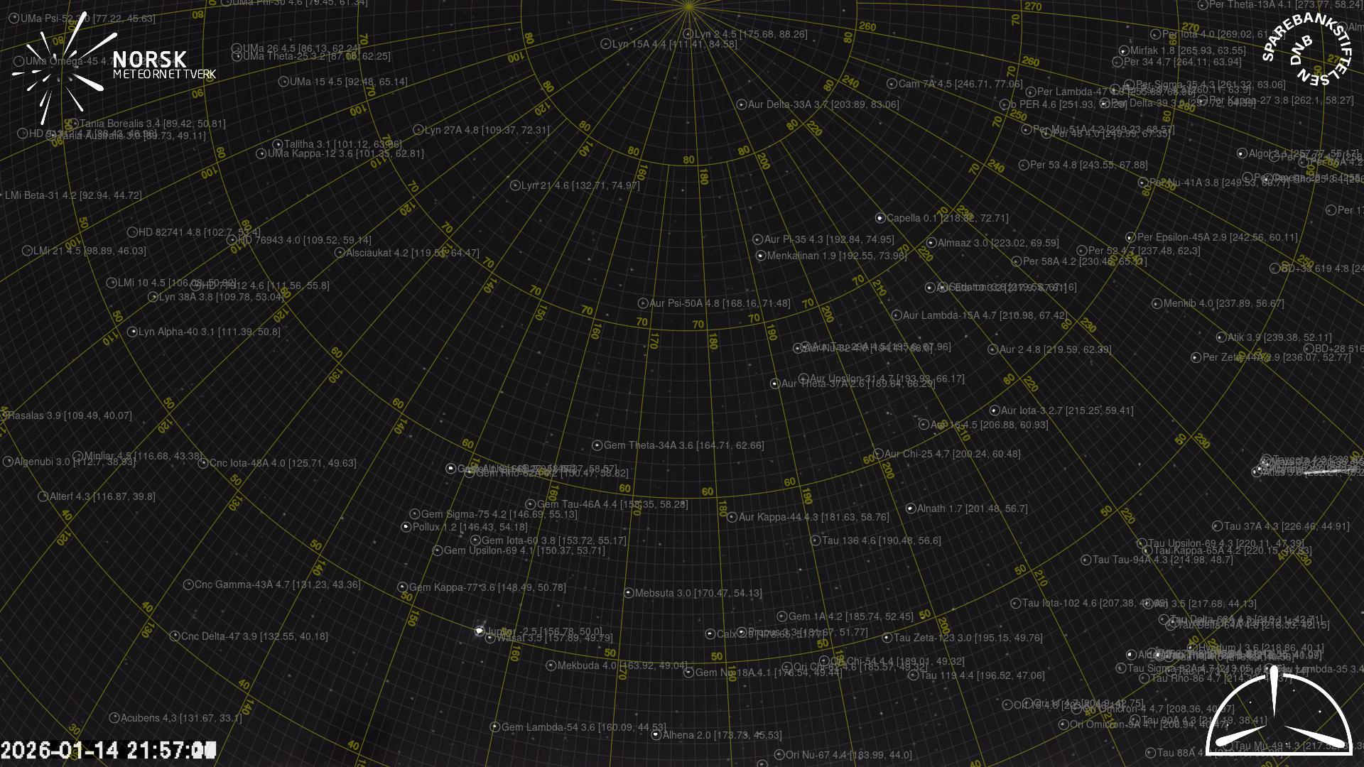
Meteor Report 2026-01-14 21:57:18 UTC
Loten (LOT) cam4
Videos
•
Gnomonic
•
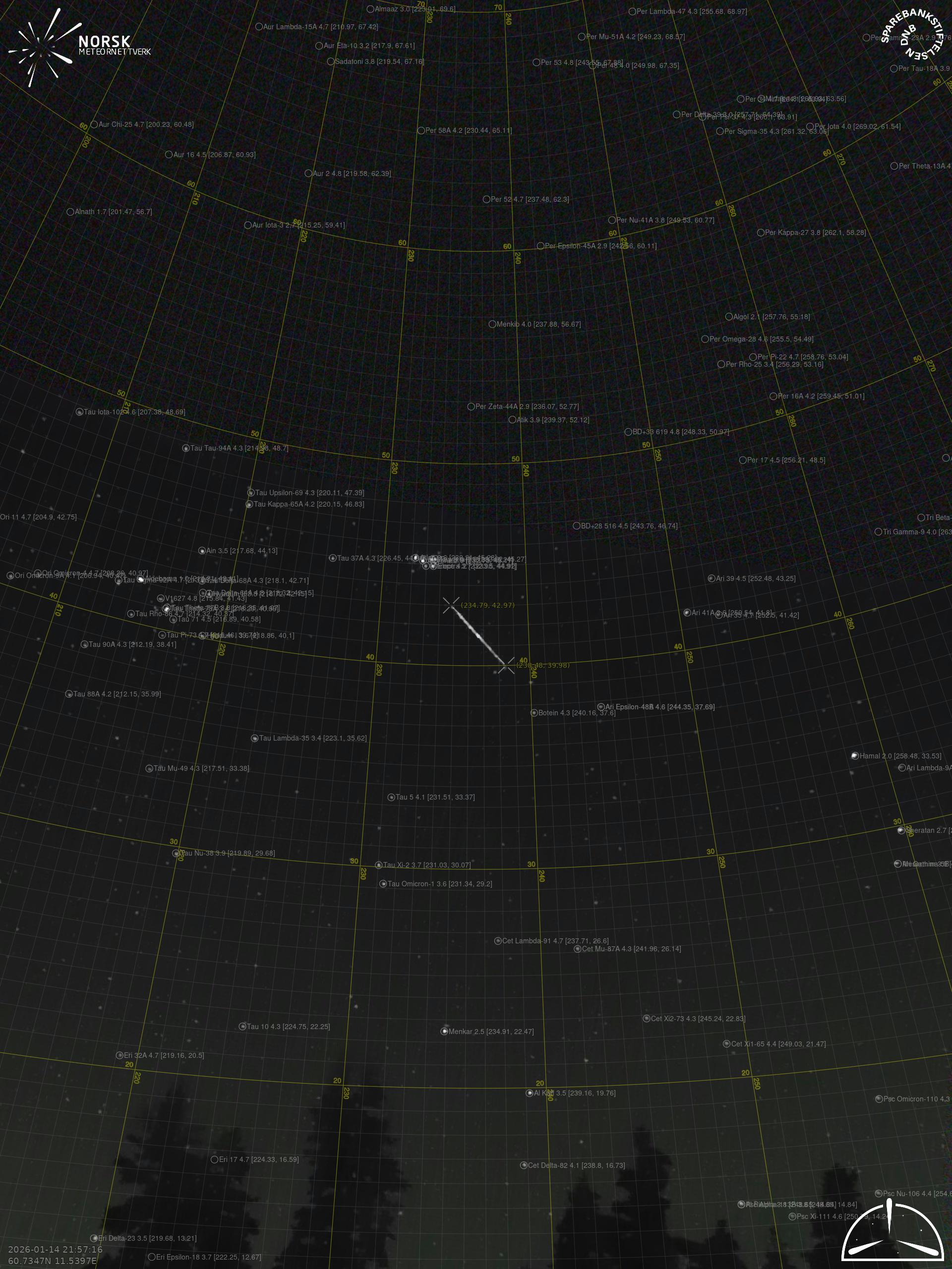
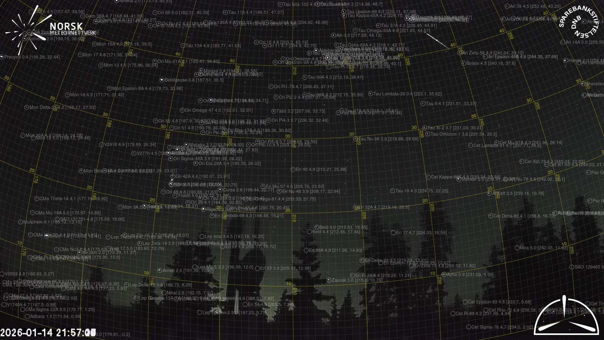
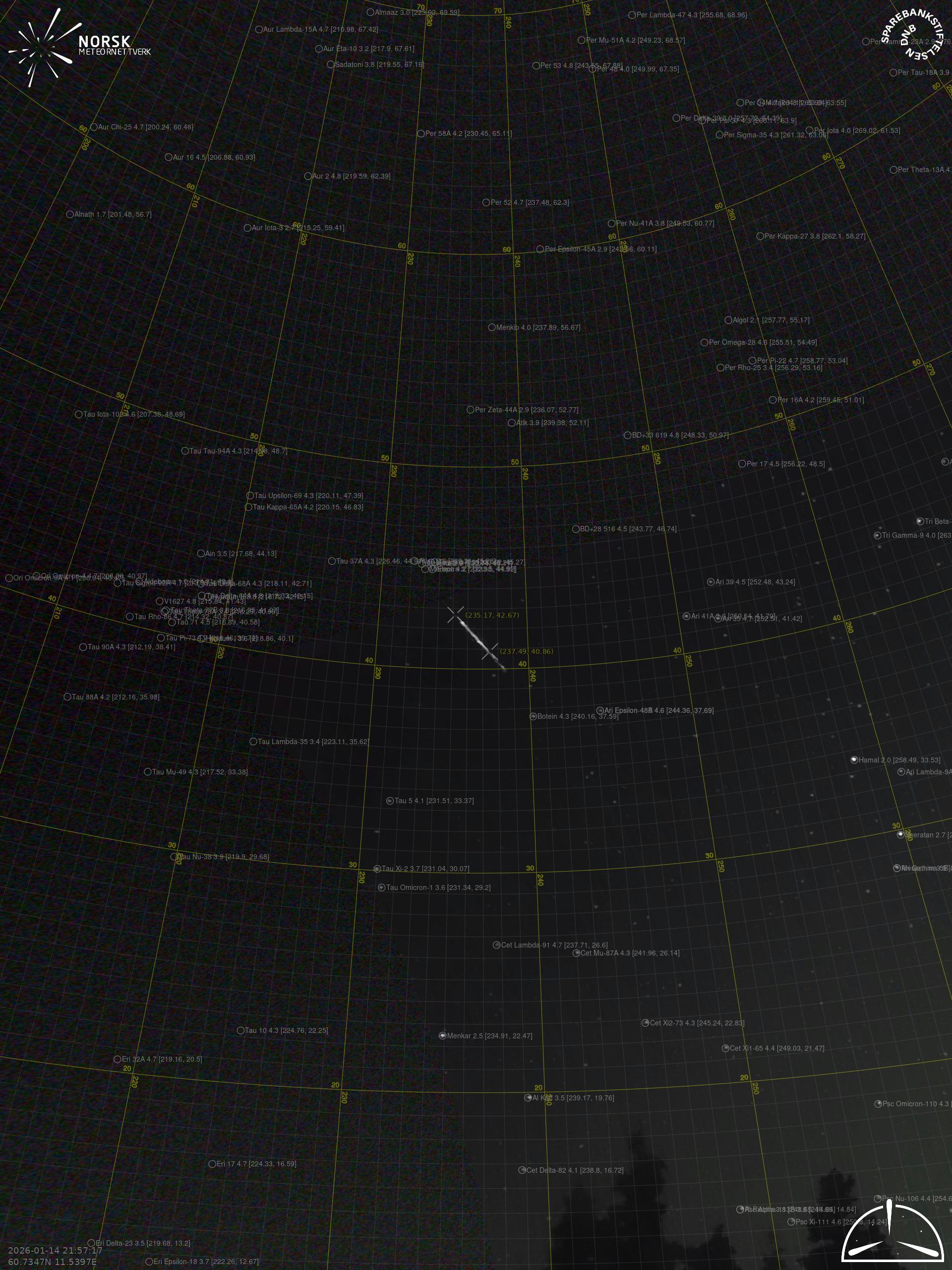
Gnomonic with coordinates
•
Original
•
Original with coordinates
Images
•
Gnomonic
•
Gnomonic with coordinates
•
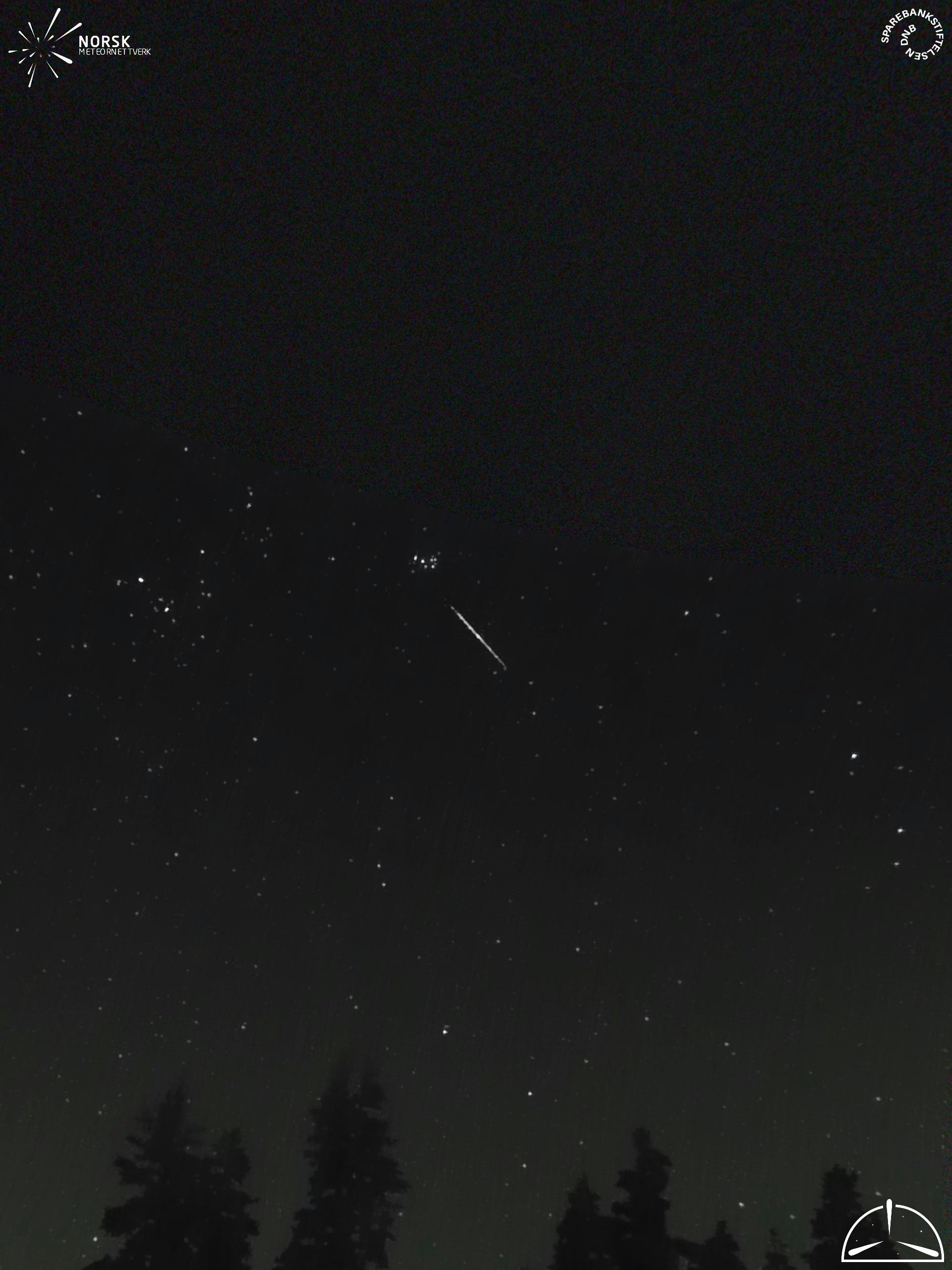
Original
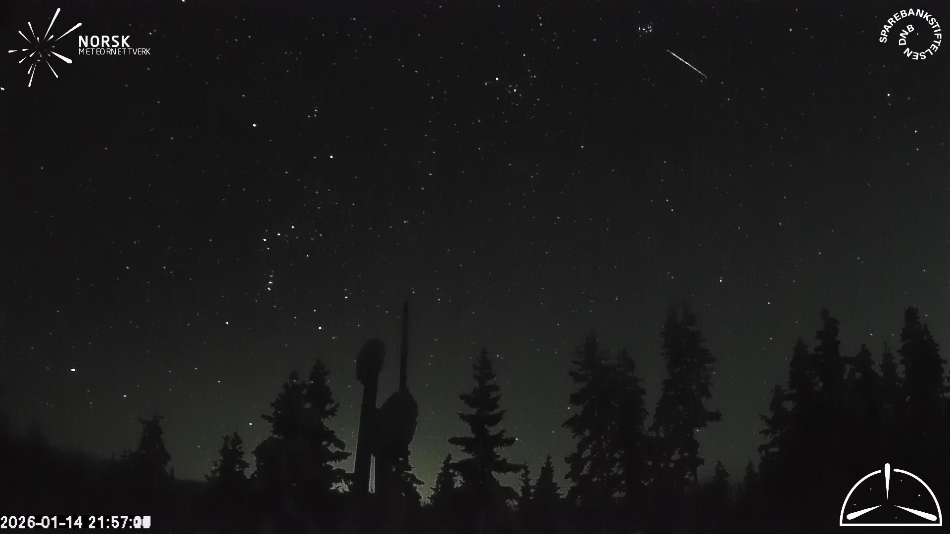
•
Original with coordinates
Text Files
•
Detection
•
Observation
•
Coordinates
•
Log
Loten (LOT) cam5
Videos
•
Gnomonic
•
Gnomonic with coordinates
•
Original
•
Original with coordinates
Images
•
Gnomonic
•
Gnomonic with coordinates
•
Original
•
Original with coordinates
Text Files
•
Detection
•
Observation
•
Coordinates
•
Log
Loten (LOT) cam7
Videos
•
Gnomonic
•
Gnomonic with coordinates
•
Original
•
Original with coordinates
Images
•
Gnomonic
•
Gnomonic with coordinates
•
Original
•
Original with coordinates
Text Files
•
Detection
•
Observation
•
Coordinates
•
Log