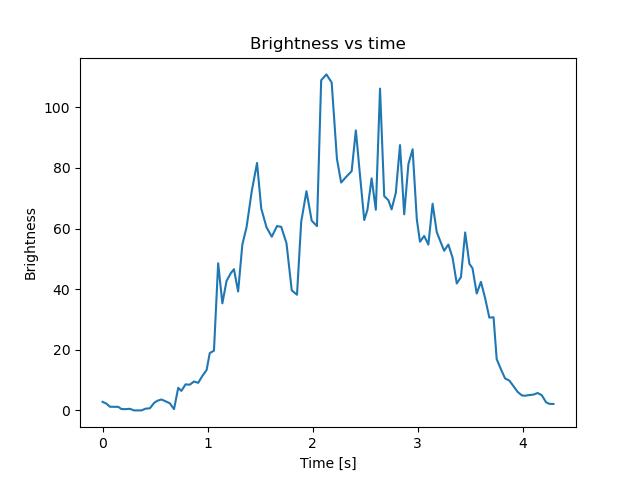
Theme:
Meteor over Hoverberg 2026-11-02 20:43:44 UTC
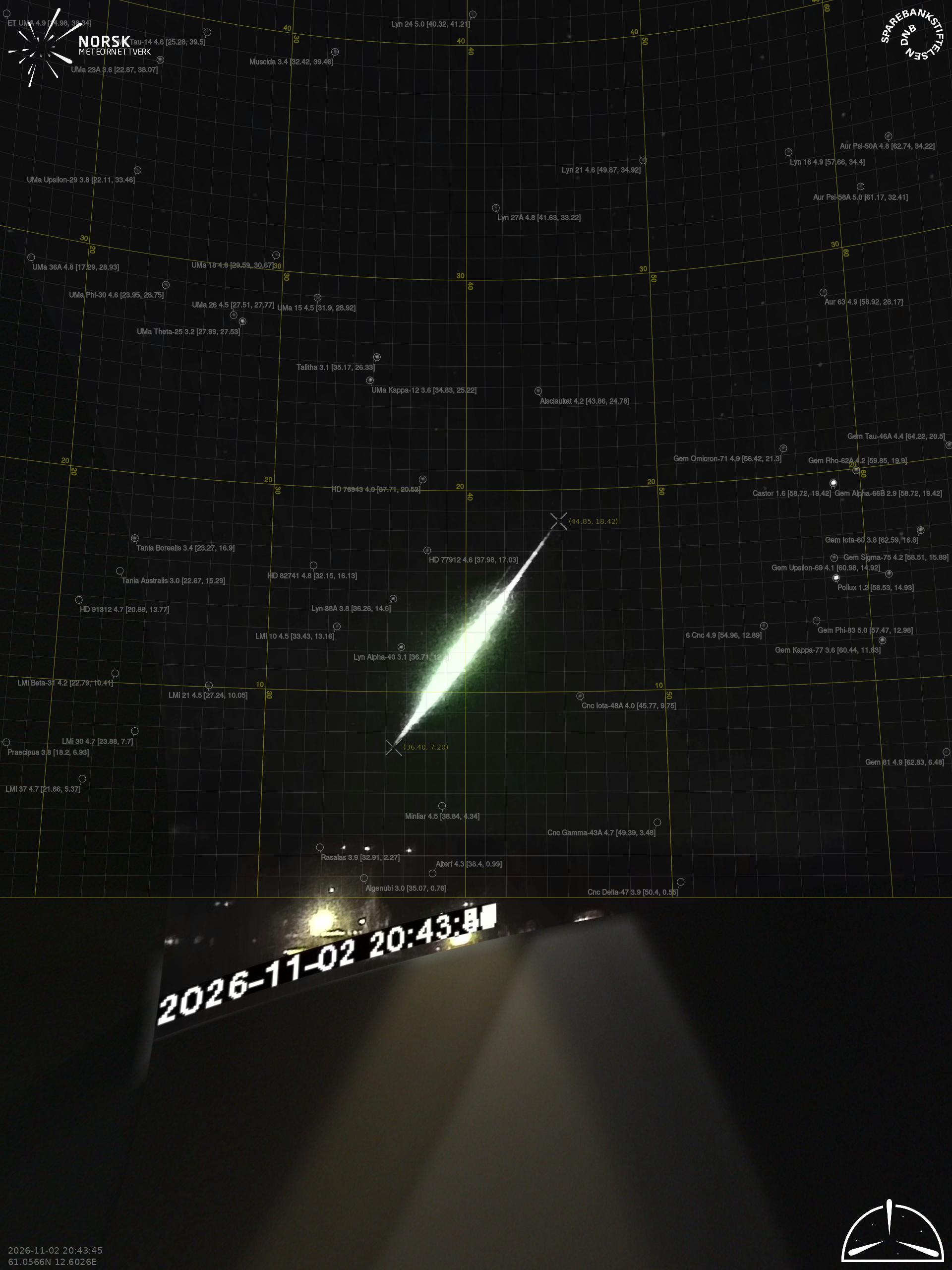
Finnskogen – 2
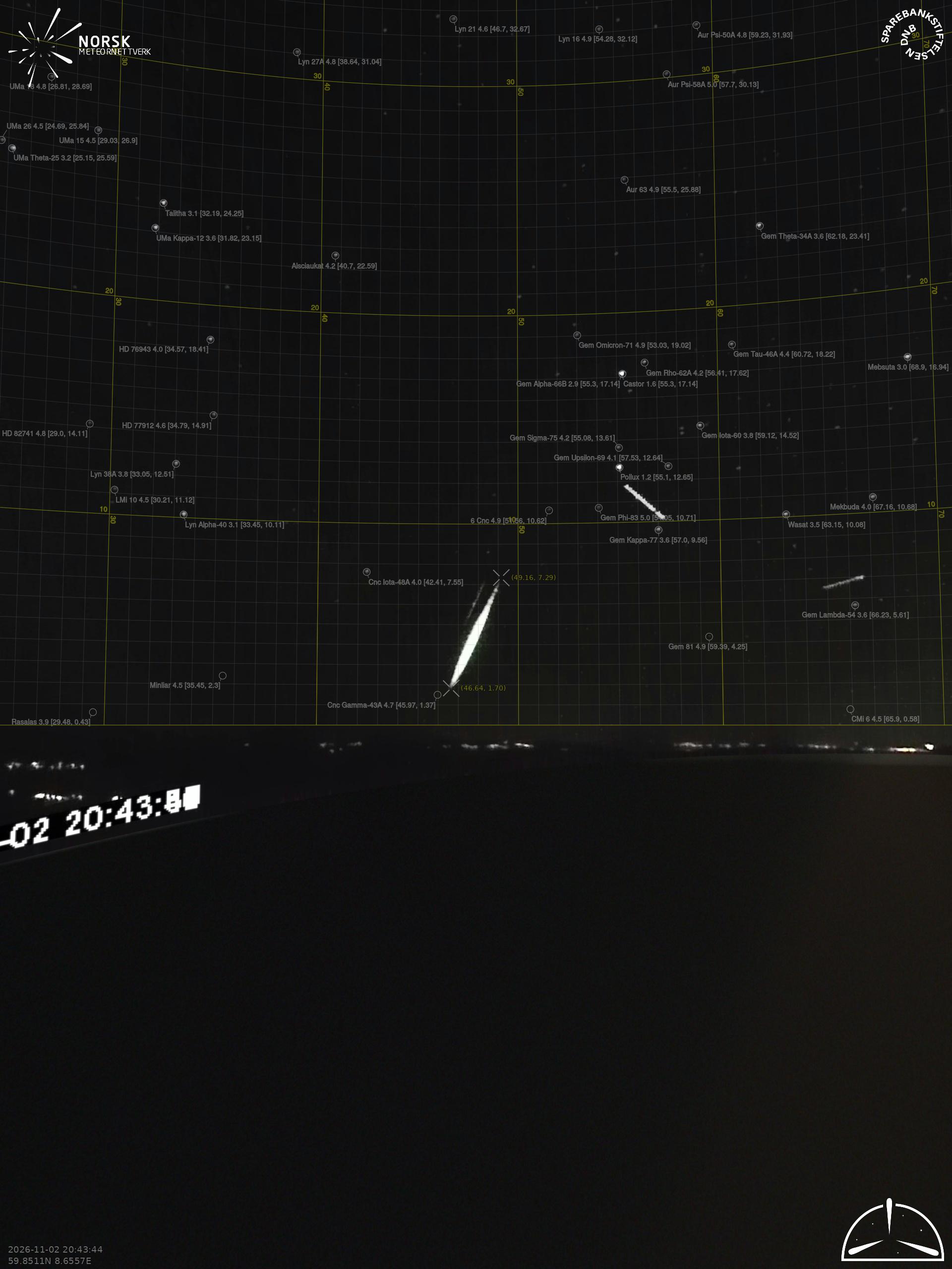
Gaustatoppen – 2
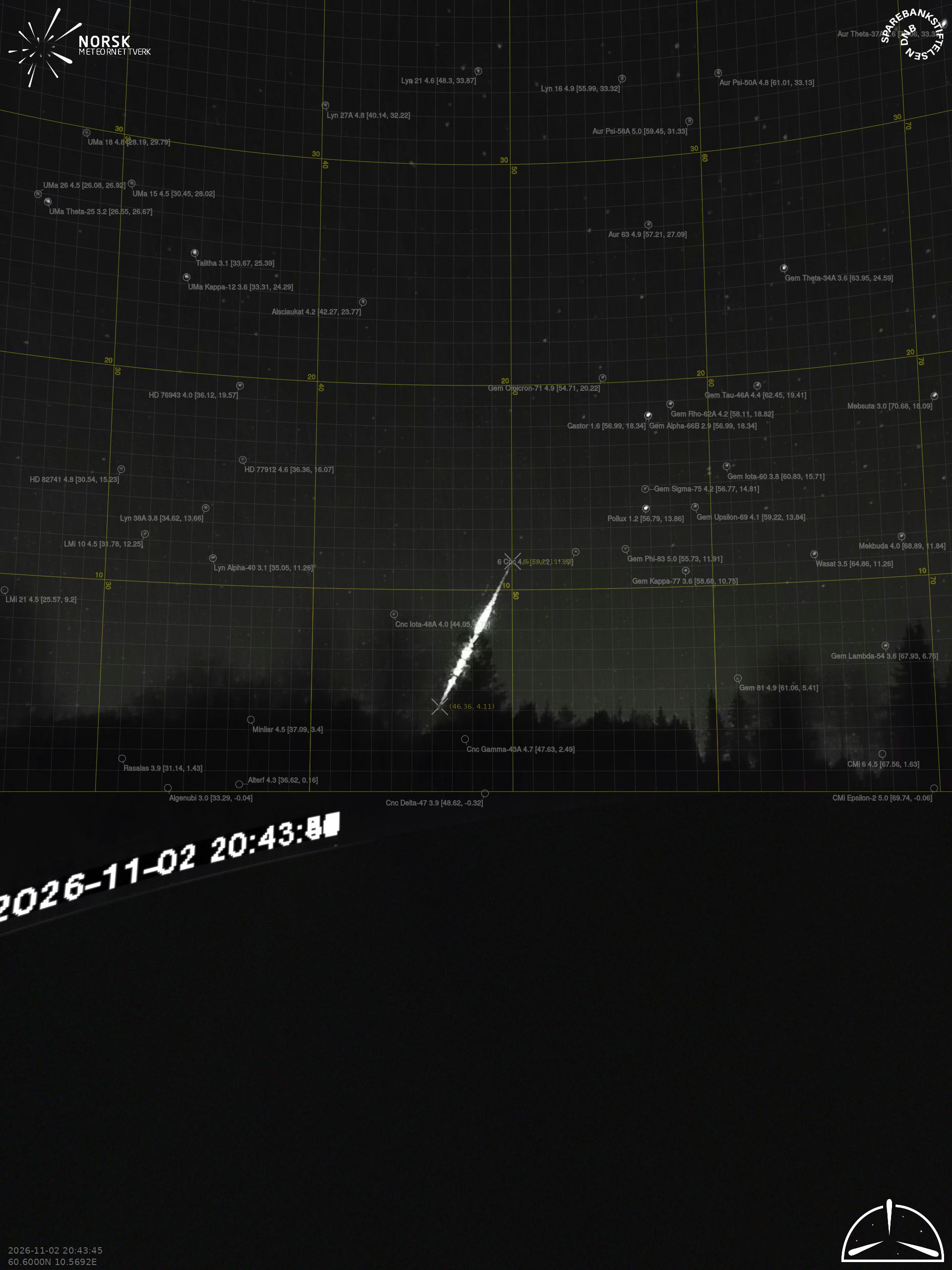
Hågår – 3
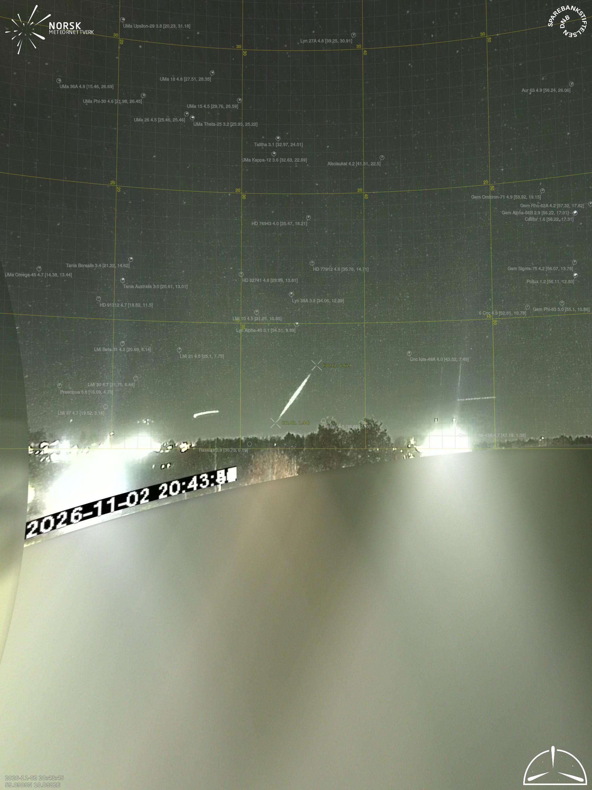
Larvik – 2
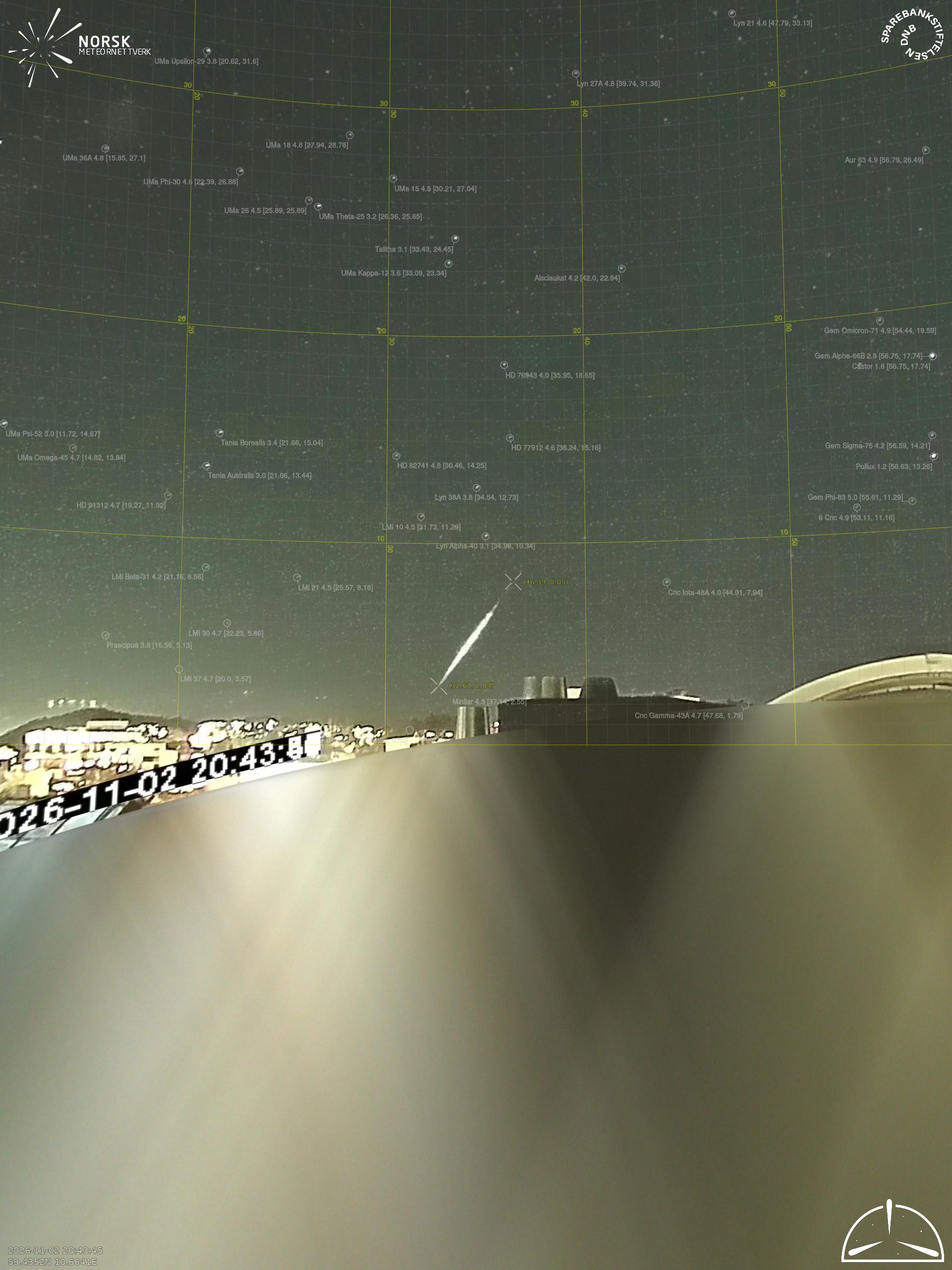
Moss – 2
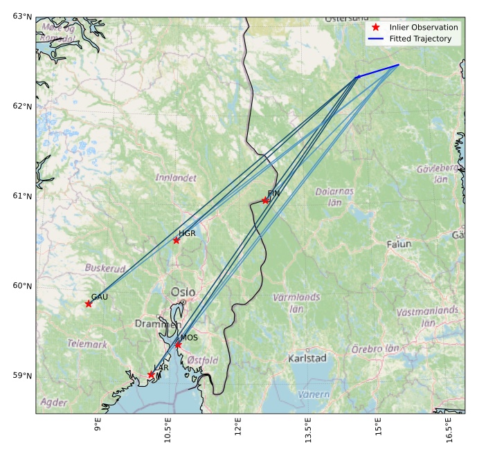
The map shows the bearings for the meteor. The lighter lines show the directions from the observation sites at the meteor's appearance, and the darker lines show where it was last seen. The blue arrow indicates the visible path of the meteor.
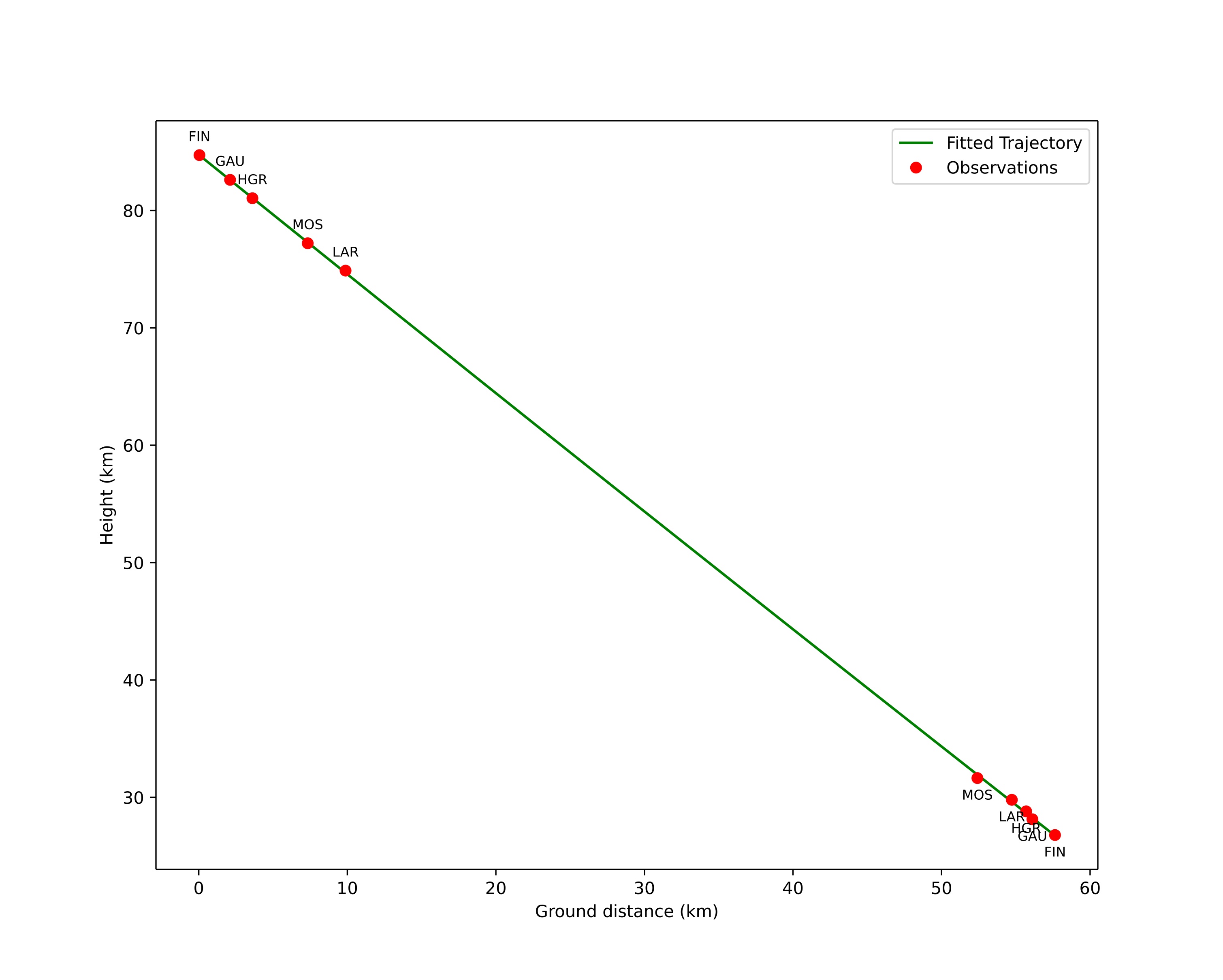
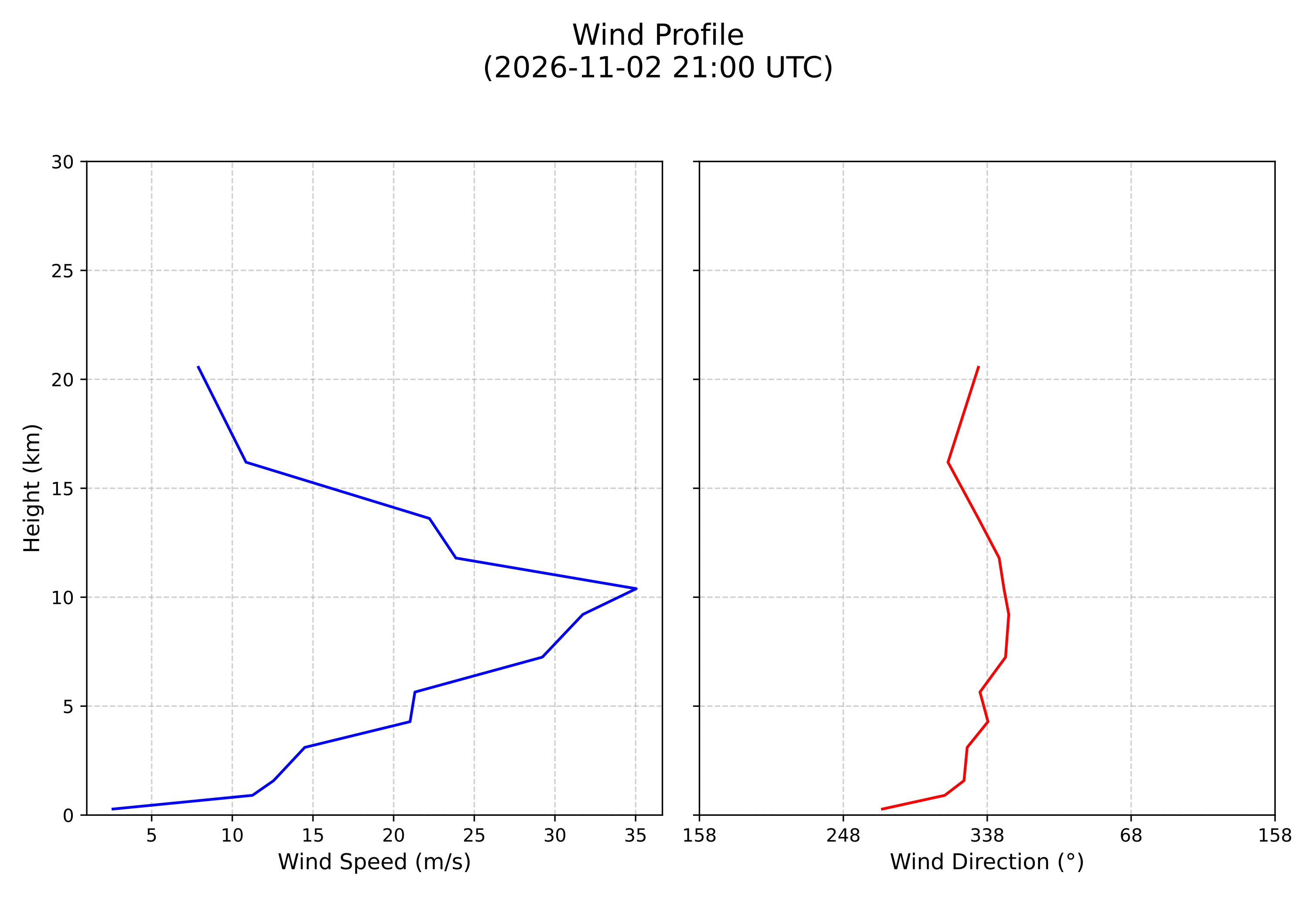
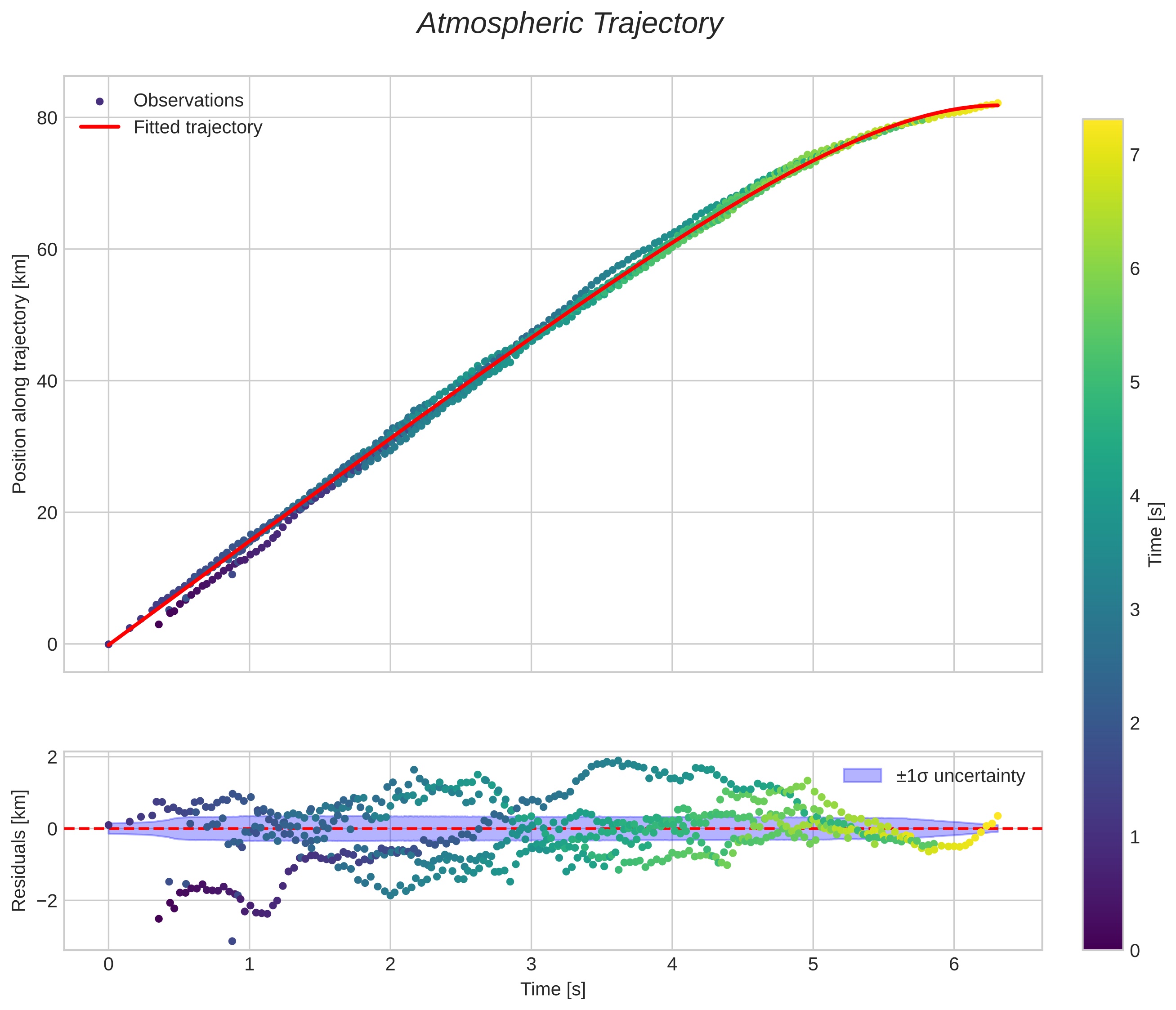
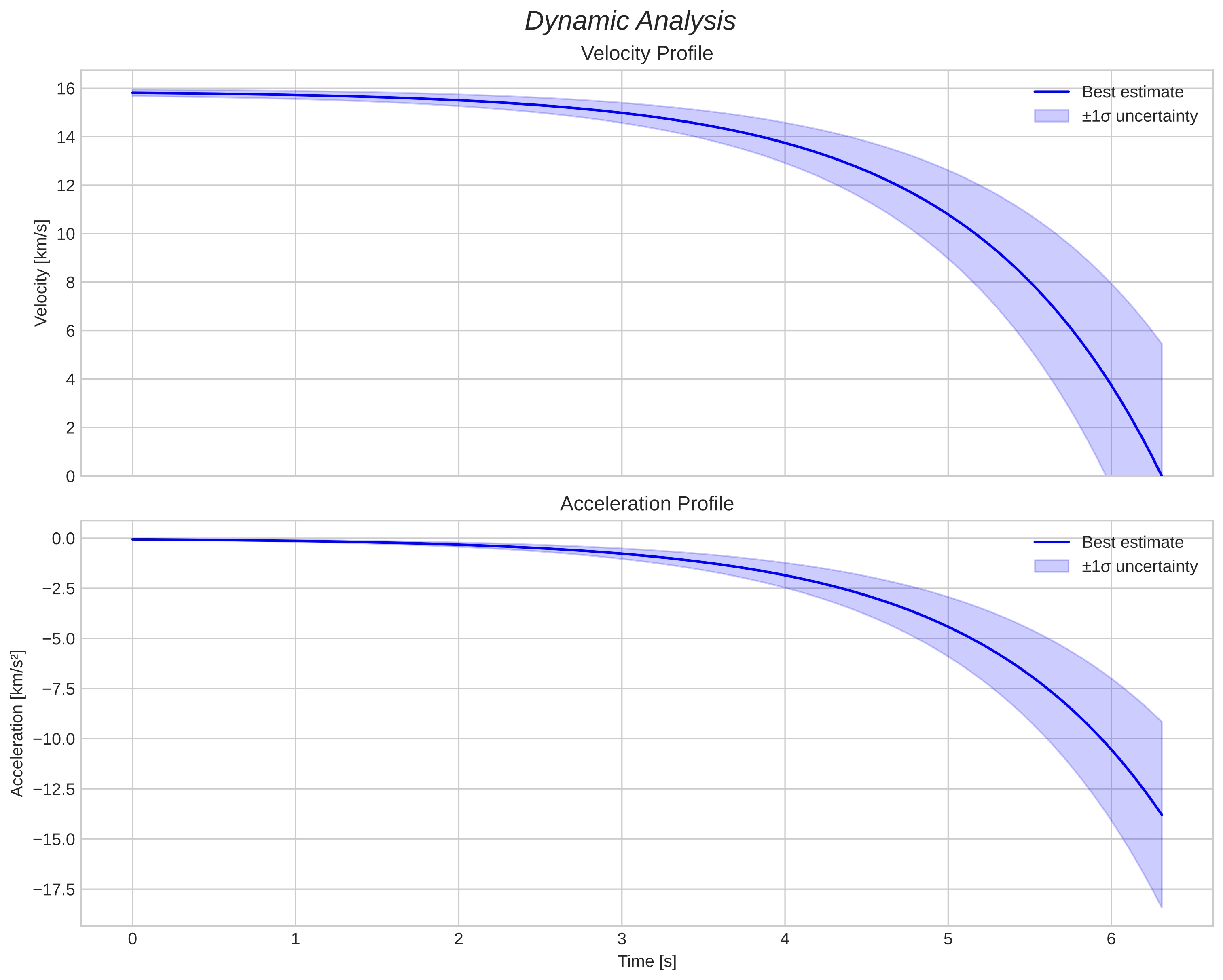
Meteor's Atmospheric Trajectory:
|
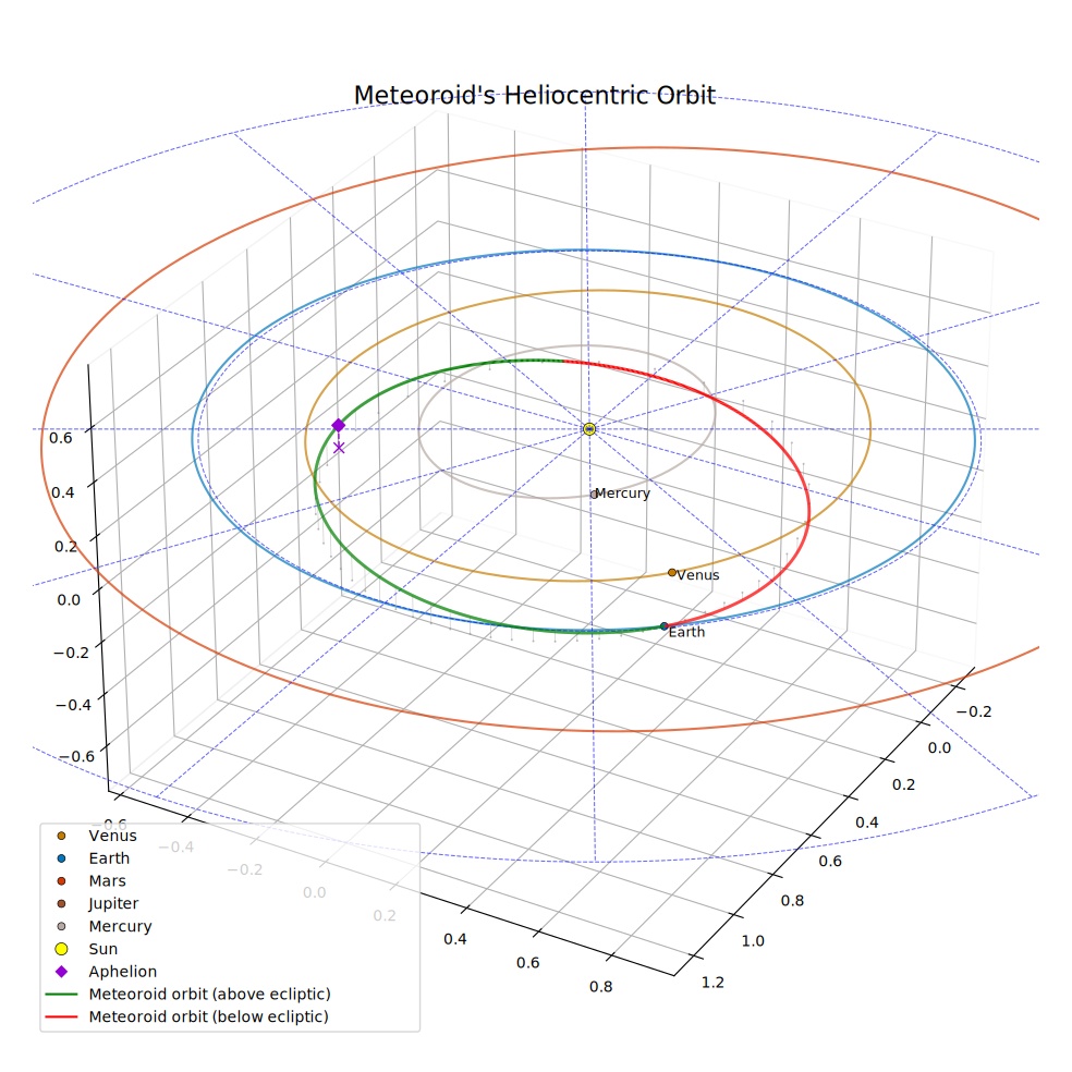
Meteoroid's Orbital Elements:
|
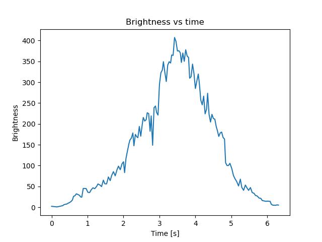
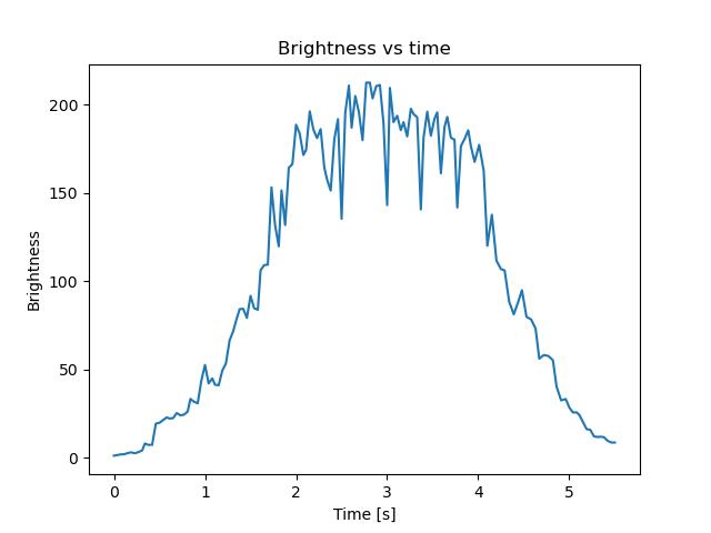
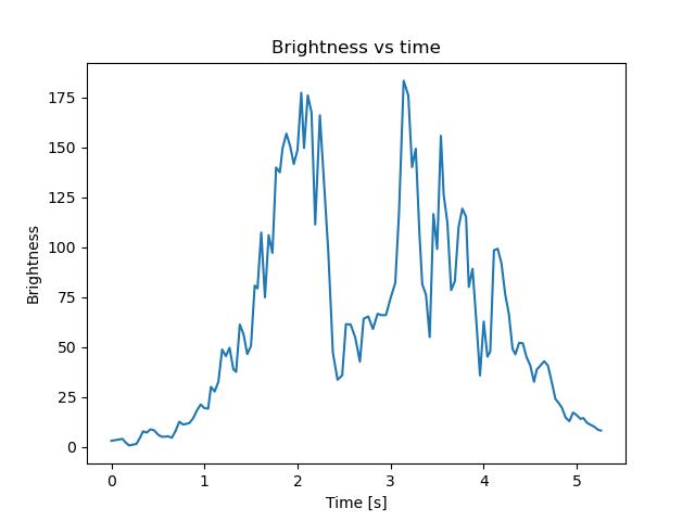
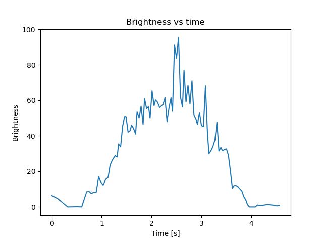
Dark flight / fragmentation
| Model | First-observed (kg) | Ablated (kg) | Landed (kg) | Mass with unresolved fate (kg) | Largest landed piece (kg) | Peak absolute magnitude | Density (kg/m³) | Shape weight | Peak delay (s) | Post-observed light (s) | Model preference |
|---|---|---|---|---|---|---|---|---|---|---|---|
| discrete cascade | 4.36 | 3.56 | 0.797 | 0 | 0.100 | -10.0 | 3500 | 37.4% | -2.05 | 0.00 | 60.4% |
| single object | 7.61 | 6.21 | 1.39 | 0 | 1.39 | -10.0 | 3500 | 61.0% | -1.63 | 0.49 | 37.0% |
| single object | 6.39 | 6.37 | 0.015 | 0 | 0.015 | -10.0 | 7400 | 1.6% | -1.93 | 0.00 | 2.7% |
| discrete cascade | 3.356 | 3.348 | 0.008 | 0 | 0 | -10.0 | 7400 | 0.0% | -2.11 | 0.00 | 0.0% |
| continuous erosion | 2.27 | 1.92 | 0 | 0.346 | 0 | -10.0 | 3500 | 0.0% | -1.93 | 0.00 | 0.0% |
| instantaneous disruption | 0.722 | 0.607 | 0 | 0.115 | 0 | -10.0 | 3500 | 0.0% | -1.77 | 0.00 | 0.0% |
| continuous erosion | 2.936 | 2.934 | 0 | 0 | 0 | -10.0 | 7400 | 0.0% | -2.07 | 0.00 | 0.0% |
| instantaneous disruption | 0.849 | 0.848 | 0 | 0 | 0 | -10.0 | 7400 | 0.0% | -2.01 | 0.00 | 0.0% |
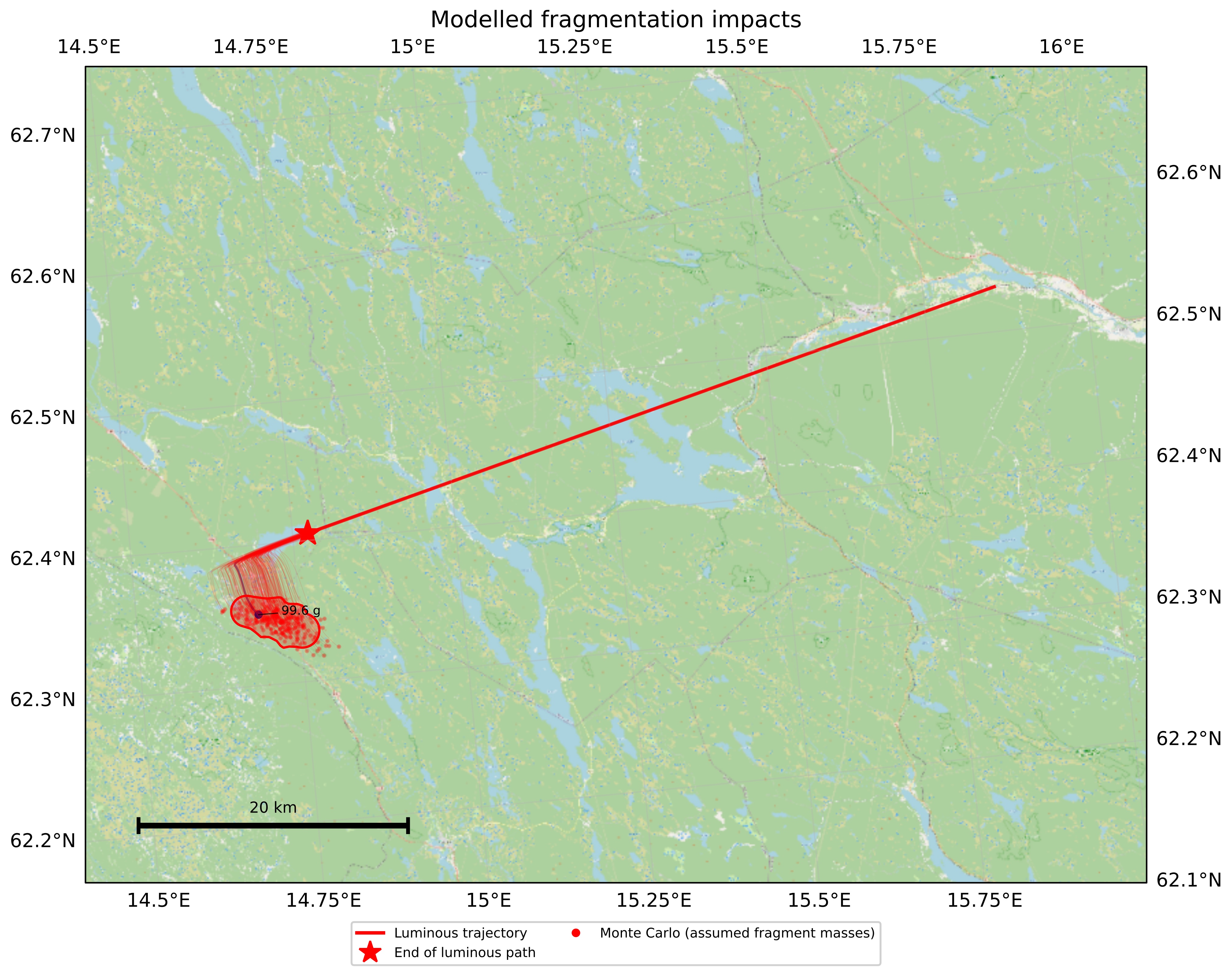
Dark-flight scenarios for assumed masses and material properties; these do not establish meteorite survival.